
1967 Map of Fairmont
USGS Topo · Published 1969About this map
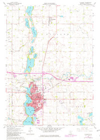
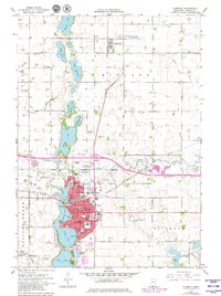
Fairmont serves as the central hub of this 1960s agricultural and lakeside landscape, defined by a distinct chain of water bodies that includes George Lake, Sisseton Lake, Budd Lake, and Hall Lake. The city layout shows a mature infrastructure with a concentrated grid of schools such as St Paul Sch, St John Sch, and Lincoln Sch, alongside civic landmarks like the County Fairground and Fairmont Municipal Airport. The industrial and transport character of the era is evident through the convergence of the Chicago Milwaukee ST Paul And Pacific and the Chicago And North Western railroads, which shaped the development of the region.
Find a feature on this map
56 named features on this map. Tap any name to fly to it.
Don’t see what you’re looking for? This feature index may not catch every label — zoom into the map to look around manually.
Map Details
Editions of this 1967 Fairmont Map
3 editions found
Other maps of this area

1954 · Fairmont
USGS Topo · 1:250,000

1958 · Fairmont
USGS Topo · 1:250,000

1967 · Truman
USGS Topo · 1:24,000

1967 · East Chain
USGS Topo · 1:24,000

1967 · Wilmert Lake
USGS Topo · 1:24,000

1967 · Truman SE
USGS Topo · 1:24,000

1967 · Granada
USGS Topo · 1:24,000

1970 · St James SE
USGS Topo · 1:24,000

1970 · Welcome
USGS Topo · 1:24,000

1970 · Wilbert
USGS Topo · 1:24,000