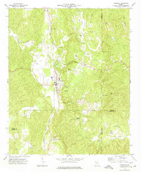
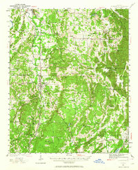
1972 Map of Fairmount
USGS Topo · Published 1974About this map
Fairmount serves as the central hub of this North Georgia landscape, situated at the intersection of several primary routes and the Louisville and Nashville railroad. The town is surrounded by a series of prominent peaks, including Carter Mtn and Ramsaeur Mtn, which overlook a network of rural settlements such as Pinhook, Ryo, and Ranger. To the southeast, the Salacoa Valley opens up, home to Salacoa Ch and the neighboring Greely community.
Find a feature on this map
40 named features on this map. Tap any name to fly to it.
Don’t see what you’re looking for? This feature index may not catch every label — zoom into the map to look around manually.
Map Details
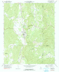
Editions of this 1972 Fairmount Map
2 editions found
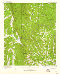
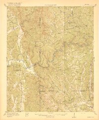
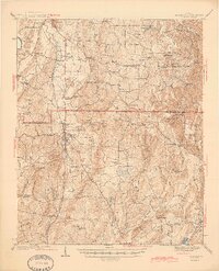
Other maps of this area

1886 · Dalton
USGS Topo · 1:125,000

1890 · Cartersville
USGS Topo · 1:125,000

1891 · Cartersville
USGS Topo · 1:125,000

1892 · Dalton
USGS Topo · 1:125,000

1896 · Cartersville
USGS Topo · 1:125,000

1897 · Dalton
USGS Topo · 1:125,000
1914 · Talking Rock
USGS Topo · 1:62,500
1916 · Talking Rock
USGS Topo · 1:62,500
1941 · Adairsville
USGS Topo · 1:62,500
1944 · Adairsville
USGS Topo · 1:62,500