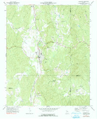
1972 Map of Fairmount
USGS Topo · Published 1991About this map
Fairmount serves as a primary hub in the north Georgia landscape of the early 1970s, situated at the junction of Highway 411 and Highway 61. The town's industrial and logistical character is defined by the Louisville and Nashville railroad corridor, which tracks north through Ranger and south toward Funkhouser. This transit artery supported local extractive industries, evidenced by several quarries and a mine scattered across the surrounding ridges. To the southeast, the terrain opens into the Salacoa Valley, where agricultural patterns follow the path of Salacoa Creek. The map documents a dense network of rural religious life, preserving the locations of East Damascus Ch, Pleasant Grove Ch, and Salacoa Ch. Notable high points like Ramsaeur Mtn and Carter Mtn overlook these small settlements, including the crossroads at Pinhook and Ryo, providing a detailed look at the interface between the rolling valley floor and the wooded mountain spurs.
Find a feature on this map
44 named features on this map. Tap any name to fly to it.
Don’t see what you’re looking for? This feature index may not catch every label — zoom into the map to look around manually.
Map Details
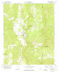
Editions of this 1972 Fairmount Map
2 editions found
Other maps of this area

1886 · Dalton
USGS Topo · 1:125,000

1890 · Cartersville
USGS Topo · 1:125,000

1891 · Cartersville
USGS Topo · 1:125,000

1892 · Dalton
USGS Topo · 1:125,000

1896 · Cartersville
USGS Topo · 1:125,000

1897 · Dalton
USGS Topo · 1:125,000

1914 · Talking Rock
USGS Topo · 1:62,500

1916 · Talking Rock
USGS Topo · 1:62,500

1941 · Adairsville
USGS Topo · 1:62,500

1944 · Adairsville
USGS Topo · 1:62,500