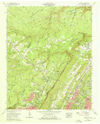
1969 Map of Fairmount
USGS Topo · Published 1972About this map
The Cumberland Escarpment dominates the topography of this 1969 survey, creating a sharp divide between the elevated plateau settlements of Lone Oak and Fairmount and the expanding valley suburbs of Chattanooga and Red Bank. The map documents a landscape in transition, where mid-century residential developments like Skyline Park and Applewood meet established mountain communities.
Find a feature on this map
109 named features on this map. Tap any name to fly to it.
Don’t see what you’re looking for? This feature index may not catch every label — zoom into the map to look around manually.
Map Details
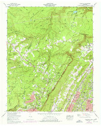
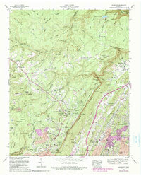
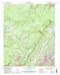
Editions of this 1969 Fairmount Map
5 editions found

Other maps of this area

1888 · Chattanooga
USGS Topo · 1:125,000

1893 · Chattanooga
USGS Topo · 1:125,000

1935 · East Chattanooga
USGS Topo · 1:24,000

1935 · Daisy
USGS Topo · 1:24,000

1935 · Soddy
USGS Topo · 1:24,000

1936 · Daus
USGS Topo · 1:24,000

1936 · Henson Gap
USGS Topo · 1:24,000

1936 · Ketner Gap
USGS Topo · 1:24,000

1936 · Fairmount
USGS Topo · 1:24,000

1936 · Wauhatchie
USGS Topo · 1:24,000