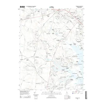
2014 Map of Fairmount
USGS Topo · Published 2014About this map
Rehoboth Bay and its complex network of inlets define this portion of the Delmarva Peninsula, where the landscape transitions from established inland settlements to coastal residential pockets. Historic water features like Goslee Mill Pond and Red Mill Pond sit adjacent to small communities such as Robinsonville and Jimtown. The eastern edge of the map reveals a dense pattern of maritime-oriented growth, including Angola by the Bay and The Woods on Herring Creek, showcasing how the shoreline along Herring Creek and Guinea Creek has been developed into numerous distinct neighborhoods. For genealogists, the map preserves the locations of several burial grounds, such as Saint Georges Cem near The Willows and Friendship Cem in the south, providing a detailed record of the region's community landmarks.
Find a feature on this map
102 named features on this map. Tap any name to fly to it.
Don’t see what you’re looking for? This feature index may not catch every label — zoom into the map to look around manually.
Map Details
Editions of this 2014 Fairmount Map
This is the sole edition of this map. No revisions or reprints were ever made.
Other maps of this area

1917 · Millsboro
USGS Topo · 1:62,500

1918 · Cedar Creek
USGS Topo · 1:62,500

1918 · Rehoboth
USGS Topo · 1:62,500

1918 · Cape Henlopen
USGS Topo · 1:62,500

1919 · Cedar Creek
USGS Topo · 1:62,500

1937 · Cape Henlopen
USGS Topo · 1:62,500

1938 · Cedar Creek
USGS Topo · 1:62,500

1938 · Millsboro
USGS Topo · 1:62,500

1938 · Rehoboth
USGS Topo · 1:62,500

1943 · Fairmount
USGS Topo · 1:24,000