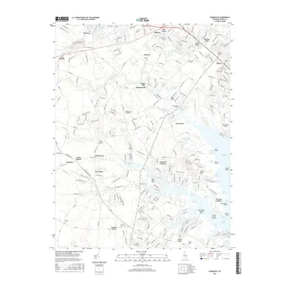
2016 Map of Fairmount
USGS Topo · Published 2016About this map
The Delmarva Peninsula's intricate shoreline and transition from traditional farming hamlets to coastal residential communities are captured in this mid-2010s survey. Inland settlements like Hollyville, Fairmount, and Indian Mission reflect the area's deep-rooted agrarian character, while the emergence of planned communities such as Angola by the Bay and Holiday Pines highlights more recent growth patterns. The landscape is defined by its relation to the water, with Love Creek and Goslee Mill Pond feeding toward the marshy margins of Rehoboth Bay. Researchers will find a high density of small family and community burial grounds, including Saint Georges Cem and Friendship Cem, which provide essential points of reference for tracing local genealogy. From the northern hubs of Pinetown and Five Points down to the peninsula of Long Neck, the map illustrates how transportation corridors and proximity to water have historically shaped Sussex County's development.
Find a feature on this map
257 named features on this map. Tap any name to fly to it.
Don’t see what you’re looking for? This feature index may not catch every label — zoom into the map to look around manually.
Map Details
Editions of this 2016 Fairmount Map
This is the sole edition of this map. No revisions or reprints were ever made.
Other maps of this area

1917 · Millsboro
USGS Topo · 1:62,500

1918 · Cedar Creek
USGS Topo · 1:62,500

1918 · Rehoboth
USGS Topo · 1:62,500

1918 · Cape Henlopen
USGS Topo · 1:62,500

1919 · Cedar Creek
USGS Topo · 1:62,500

1937 · Cape Henlopen
USGS Topo · 1:62,500

1938 · Cedar Creek
USGS Topo · 1:62,500

1938 · Millsboro
USGS Topo · 1:62,500

1938 · Rehoboth
USGS Topo · 1:62,500

1943 · Fairmount
USGS Topo · 1:24,000