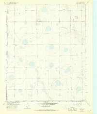
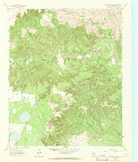
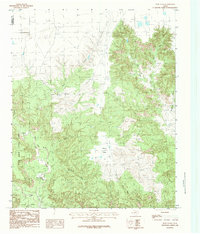
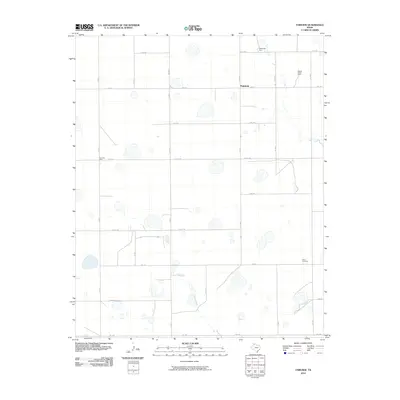
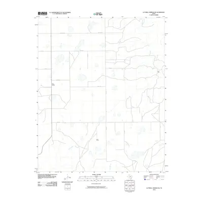
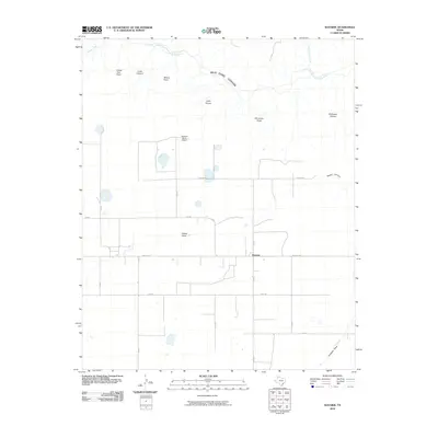
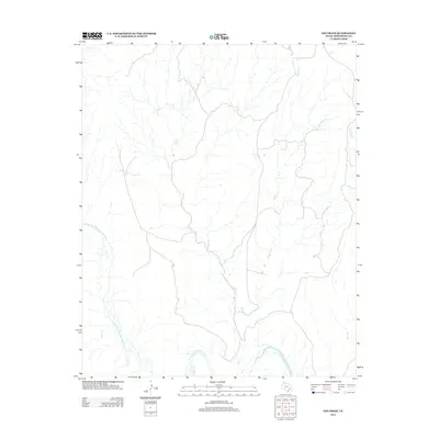
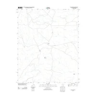
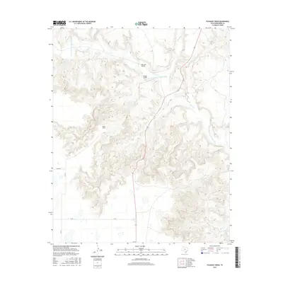
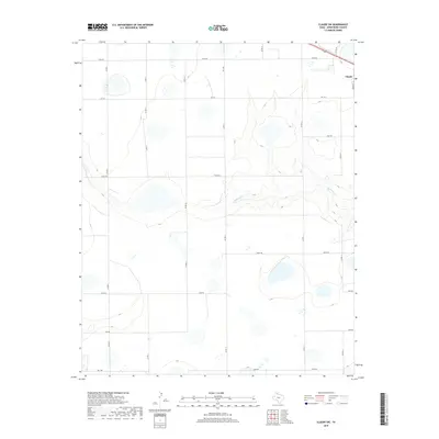
1960 Map of Fairview
USGS Topo · Published 1968About this map
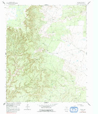
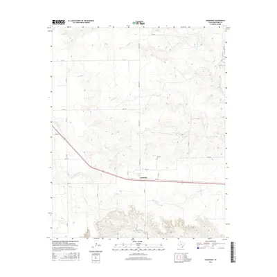
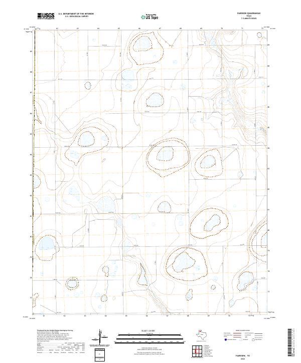
The high plains of the Texas Panhandle near the border of Randall and Armstrong Counties appear here as a landscape of grid-aligned farmsteads and intermittent playa lakes. Centered on the settlement of Fairview, the area reflects a mid-century agricultural system defined by named operations like Valleyview Farm, Willow Valley Farm, and Clear Vue Farm. The terrain is marked by the erosion of the Caprock, most visible where Mulberry Creek and Skunk Hollow begin their descent, cutting through the otherwise level plateau. Roads like Antelope Road and Tumbleweed Road follow strict section lines, typical of the region's rectilinear surveying, while the presence of Butterfield and Fourway Farm indicates the scattered but organized distribution of rural residences across the Llano Estacado during the 1950s and 1960s.
Find a feature on this map
14 named features on this map. Tap any name to fly to it.
Don’t see what you’re looking for? This feature index may not catch every label — zoom into the map to look around manually.
Map Details
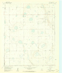
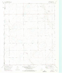
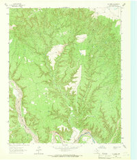
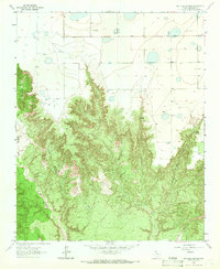
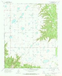
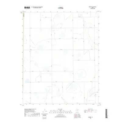
Editions of this 1960 Fairview Map
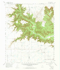
Historical Maps of Fairview Through Time
67 maps found
1960 Fairview
Armstrong County, TX
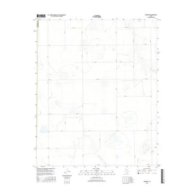
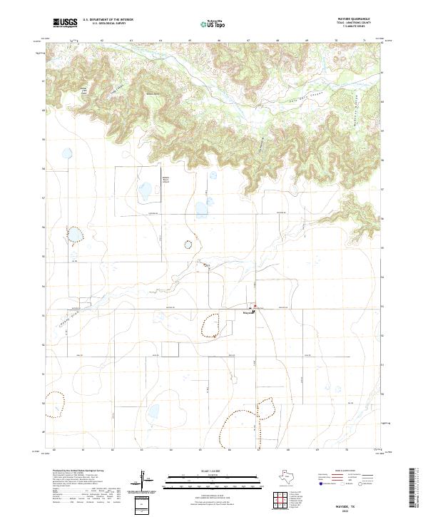
1960 Wayside
Armstrong County, TX
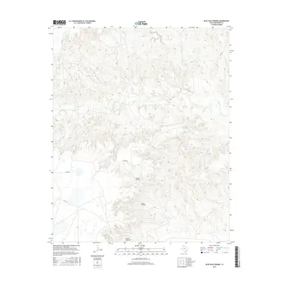
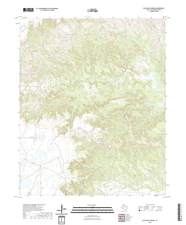
1963 Blue Hole Springs
Armstrong County, TX
1963 Gip Creek
Armstrong County, TX
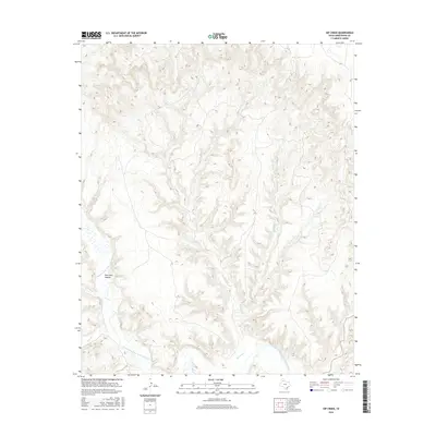
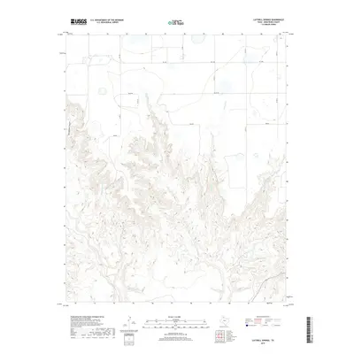
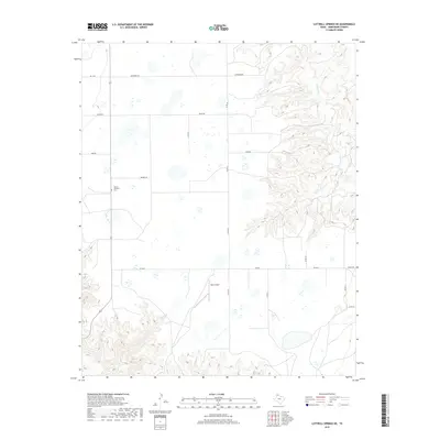
1963 Luttrell Springs
Armstrong County, TX
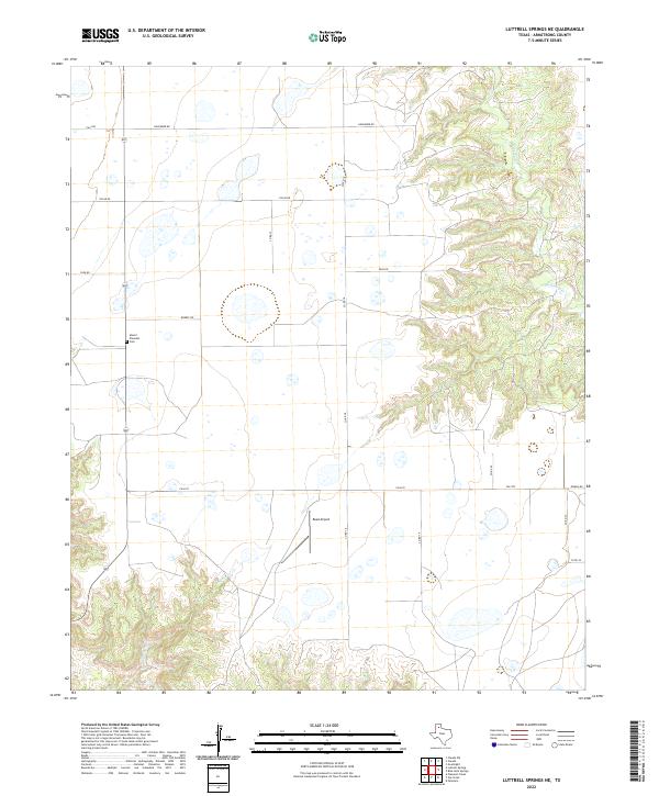
1963 Luttrell Springs NE
Armstrong County, TX
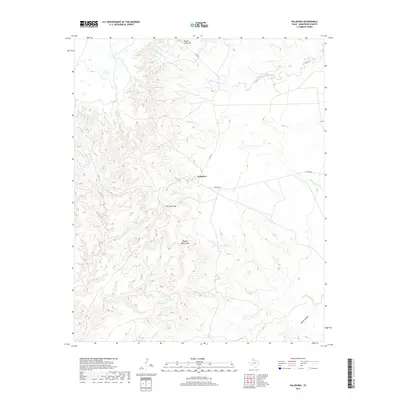
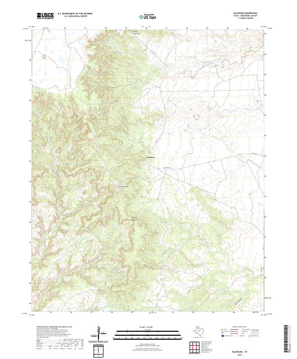
1963 Paloduro
Armstrong County, TX
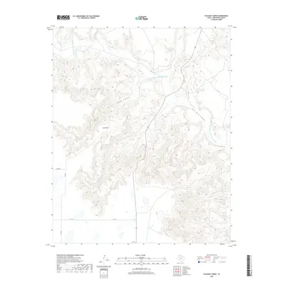
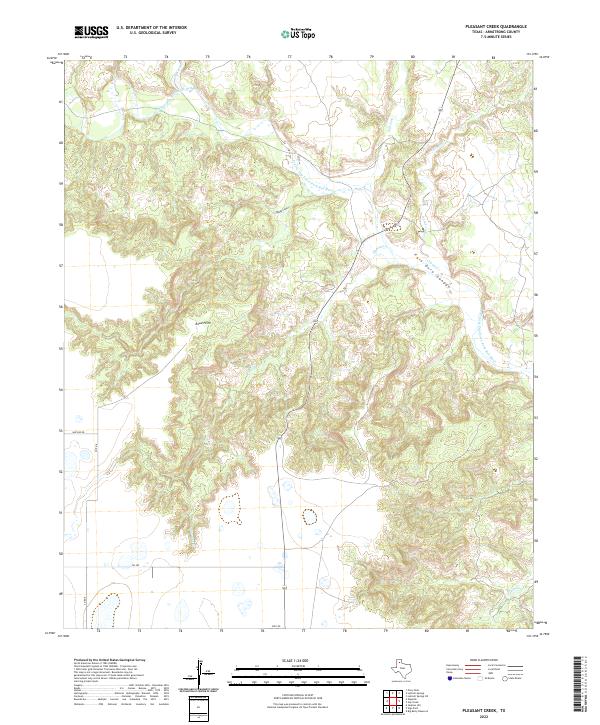
1963 Pleasant Creek
Armstrong County, TX
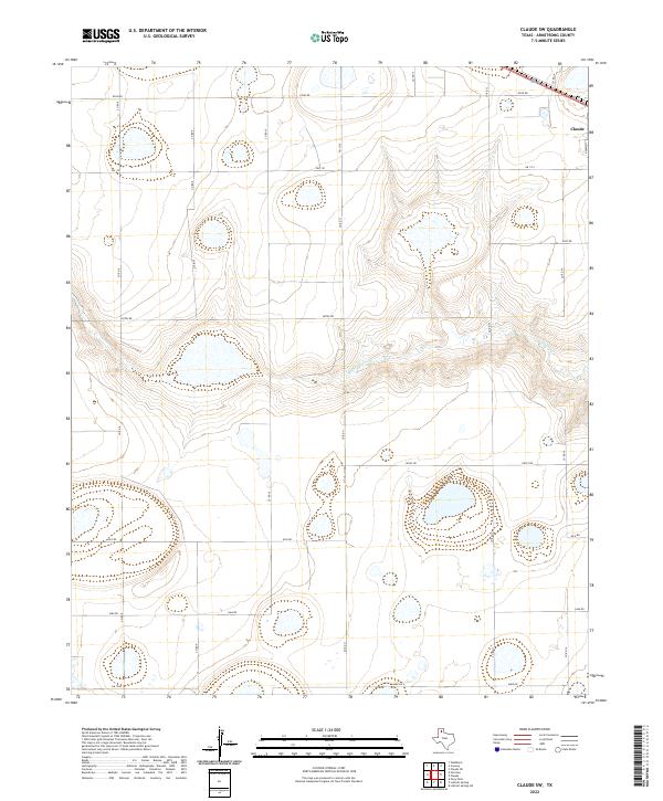
1983 Claude SW
Armstrong County, TX
1983 Goodnight
Armstrong County, TX
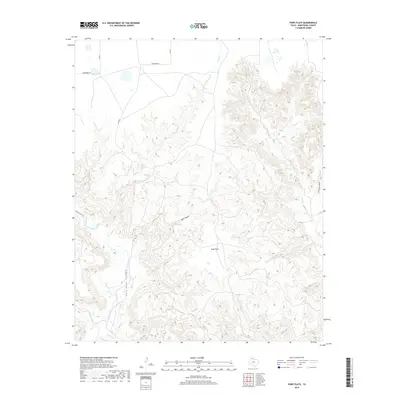
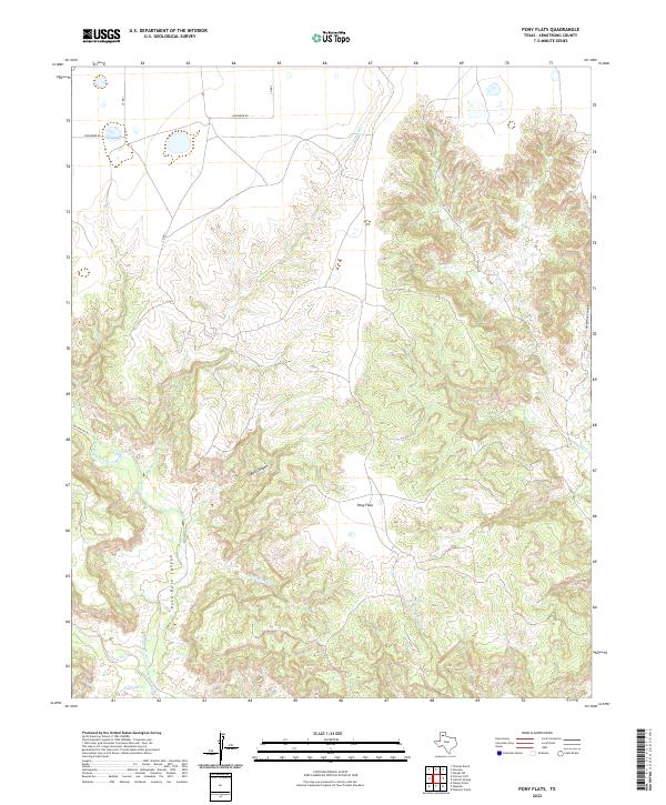
1984 Pony Flats
Armstrong County, TX
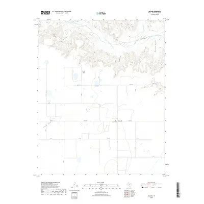
1984 Wayside
Armstrong County, TX
2010 Blue Hole Springs
Armstrong County, TX
2010 Claude SW
Armstrong County, TX
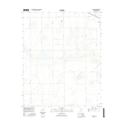
2010 Fairview
Armstrong County, TX
2010 Gip Creek
Armstrong County, TX
2010 Goodnight
Armstrong County, TX
2010 Luttrell Springs
Armstrong County, TX
2010 Luttrell Springs NE
Armstrong County, TX
2010 Paloduro
Armstrong County, TX
2010 Pleasant Creek
Armstrong County, TX
2010 Pony Flats
Armstrong County, TX
2010 Wayside
Armstrong County, TX
2012 Blue Hole Springs
Armstrong County, TX
2012 Claude SW
Armstrong County, TX
2012 Fairview
Armstrong County, TX
2012 Gip Creek
Armstrong County, TX
2012 Goodnight
Armstrong County, TX
2012 Luttrell Springs
Armstrong County, TX
2012 Luttrell Springs NE
Armstrong County, TX
2012 Paloduro
Armstrong County, TX
2012 Pleasant Creek
Armstrong County, TX
2012 Pony Flats
Armstrong County, TX
2012 Wayside
Armstrong County, TX
2016 Blue Hole Springs
Armstrong County, TX
2016 Claude SW
Armstrong County, TX
2016 Fairview
Armstrong County, TX
2016 Gip Creek
Armstrong County, TX
2016 Goodnight
Armstrong County, TX
2016 Luttrell Springs
Armstrong County, TX
2016 Luttrell Springs NE
Armstrong County, TX
2016 Paloduro
Armstrong County, TX
2016 Pleasant Creek
Armstrong County, TX
2016 Pony Flats
Armstrong County, TX
2016 Wayside
Armstrong County, TX
2019 Blue Hole Springs
Armstrong County, TX
2019 Claude SW
Armstrong County, TX
2019 Fairview
Armstrong County, TX
2019 Gip Creek
Armstrong County, TX
2019 Goodnight
Armstrong County, TX
2019 Luttrell Springs
Armstrong County, TX
2019 Luttrell Springs NE
Armstrong County, TX
2019 Paloduro
Armstrong County, TX
2019 Pleasant Creek
Armstrong County, TX
2019 Pony Flats
Armstrong County, TX
2019 Wayside
Armstrong County, TX
2022 Blue Hole Springs
Armstrong County, TX
2022 Claude SW
Armstrong County, TX
2022 Fairview
Armstrong County, TX
2022 Gip Creek
Armstrong County, TX
2022 Goodnight
Armstrong County, TX
2022 Luttrell Springs
Armstrong County, TX
2022 Luttrell Springs NE
Armstrong County, TX
2022 Paloduro
Armstrong County, TX
2022 Pleasant Creek
Armstrong County, TX
2022 Pony Flats
Armstrong County, TX
2022 Wayside
Armstrong County, TX