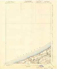
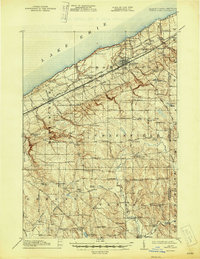
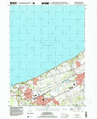
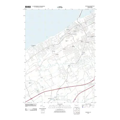
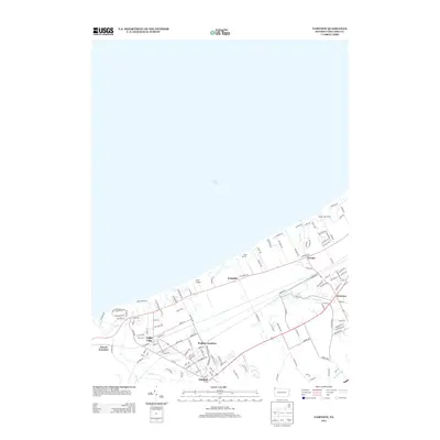
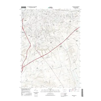
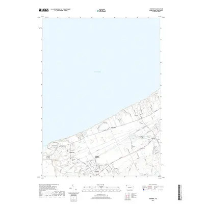
1957 Map of Fairview
USGS Topo · Published 1970About this map
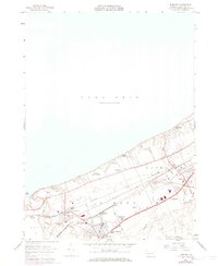
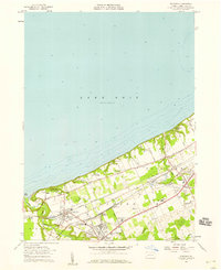
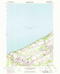
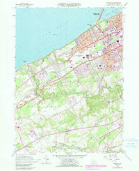
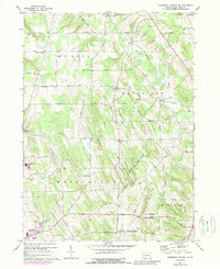
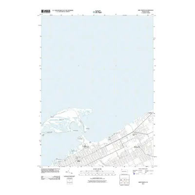
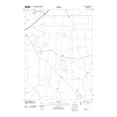
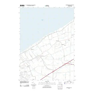
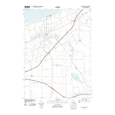
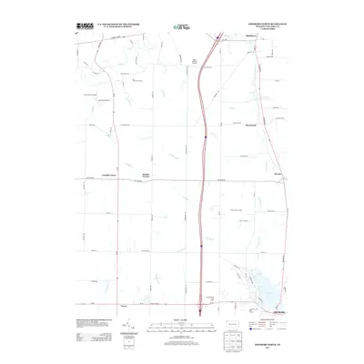
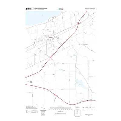
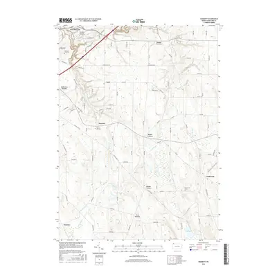
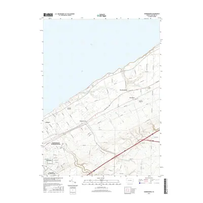
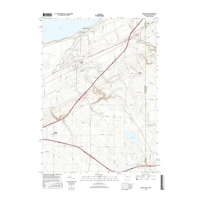
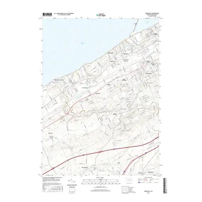
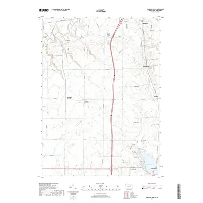
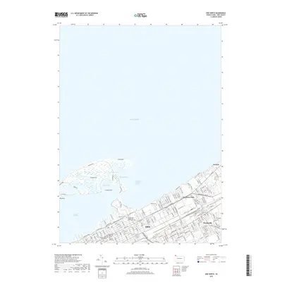
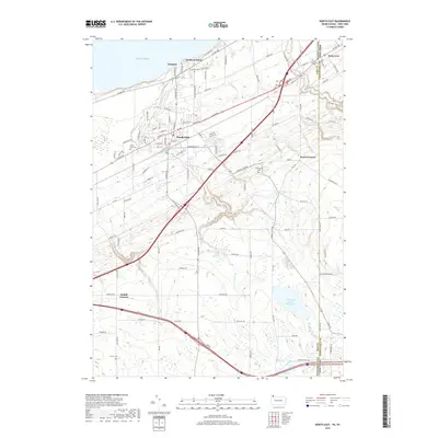
Lake Erie defines the northern reaches of this coastal Erie County landscape, where the shoreline is punctuated by recreation sites like Lake Erie Community Park, Camp Sherwin, and Great Lakes Camp. Inland, the late 1950s infrastructure reflects a transition from rural crossroads to growing suburban pockets, with 1969 revisions highlighting new developments in purple. The industrial and transportation backbone is clearly marked by the parallel tracks of the Penn Central and Norfolk and Western railroads, which converge at critical points like Girard Junction and Wallace Junction. These rails served as the lifeblood for settlements such as Lake City, Girard, and Fairview. Notable local institutions, including the Divine Word Seminary and Battles Memorial Sch, are documented alongside family and community landmarks like Fairview Cem and the Fairview Evergreen Airport.
Find a feature on this map
38 named features on this map. Tap any name to fly to it.
Don’t see what you’re looking for? This feature index may not catch every label — zoom into the map to look around manually.
Map Details
Editions of this 1957 Fairview Map
4 editions found
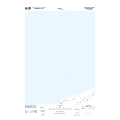
Historical Maps of Fairview Township Through Time
88 maps found
1900 Fairview
Erie County, PA

1913 North East
Erie County, PA
1915 North East
Erie County, PA

1943 North East
Erie County, PA
1957 Erie South
Erie County, PA
1957 Fairview
Erie County, PA
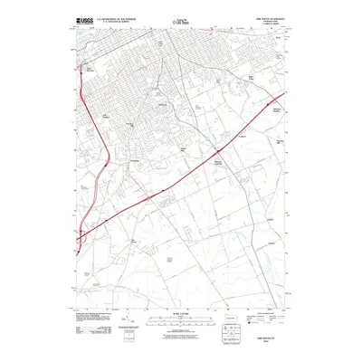
1957 Fairview SW
Erie County, PA
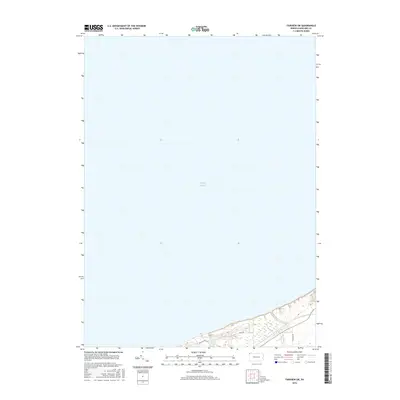
1957 Swanville
Erie County, PA
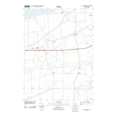
1959 East Springfield
Erie County, PA
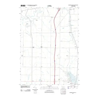
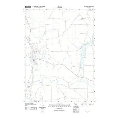
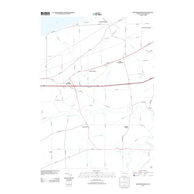
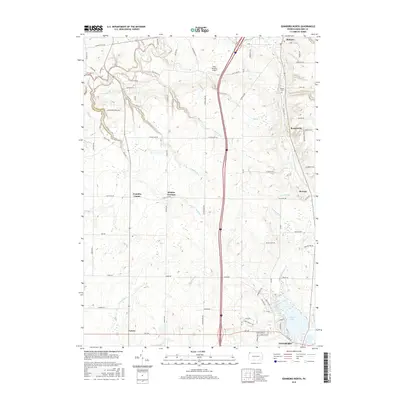
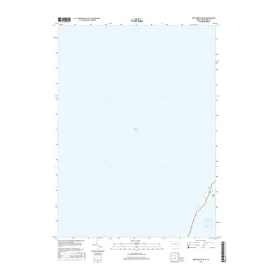
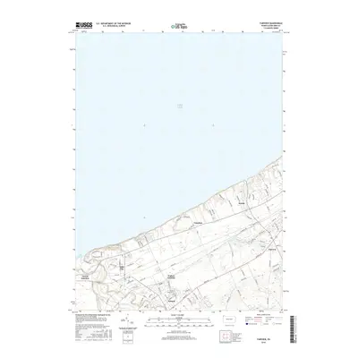
1960 Hammett
Erie County, PA
1960 Harborcreek
Erie County, PA
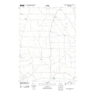
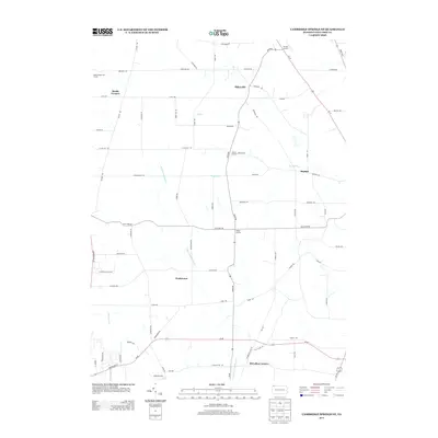
1967 Cambridge Springs NE
Erie County, PA
1967 Edinboro North
Erie County, PA
1967 Waterford
Erie County, PA

1996 Erie South
Erie County, PA
1996 Fairview SW
Erie County, PA

1996 Harborcreek
Erie County, PA
1998 Fairview
Erie County, PA

1998 Swanville
Erie County, PA
2010 Cambridge Springs NE
Erie County, PA
2010 East Springfield
Erie County, PA
2010 Edinboro North
Erie County, PA
2010 Erie North
Erie County, PA
2010 Erie South
Erie County, PA
2010 Fairview
Erie County, PA
2010 Fairview SW
Erie County, PA
2010 Hammett
Erie County, PA
2010 Harborcreek
Erie County, PA
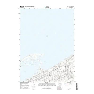
2010 North East
Erie County, PA
2010 North East OE N
Erie County, PA
2010 Swanville
Erie County, PA
2010 Waterford
Erie County, PA
2013 Cambridge Springs NE
Erie County, PA
2013 East Springfield
Erie County, PA
2013 Edinboro North
Erie County, PA
2013 Erie North
Erie County, PA
2013 Erie North OE W
Erie County, PA
2013 Erie South
Erie County, PA
2013 Fairview
Erie County, PA
2013 Fairview SW
Erie County, PA
2013 Hammett
Erie County, PA
2013 Harborcreek
Erie County, PA
2013 North East
Erie County, PA
2013 North East OE N
Erie County, PA
2013 Swanville
Erie County, PA
2013 Waterford
Erie County, PA
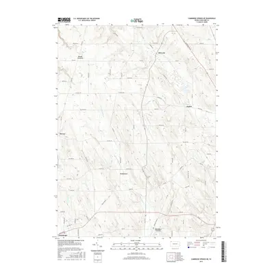
2016 Cambridge Springs NE
Erie County, PA
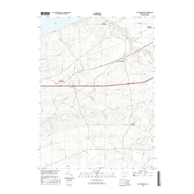
2016 East Springfield
Erie County, PA
2016 Edinboro North
Erie County, PA
2016 Erie North
Erie County, PA
2016 Erie North OE W
Erie County, PA
2016 Erie South
Erie County, PA
2016 Fairview
Erie County, PA
2016 Fairview SW
Erie County, PA
2016 Hammett
Erie County, PA
2016 Harborcreek
Erie County, PA
2016 North East
Erie County, PA
2016 North East OE N
Erie County, PA
2016 Swanville
Erie County, PA
2016 Waterford
Erie County, PA
2019 Cambridge Springs NE
Erie County, PA
2019 East Springfield
Erie County, PA
2019 Edinboro North
Erie County, PA
2019 Erie North
Erie County, PA
2019 Erie North OE W
Erie County, PA
2019 Erie South
Erie County, PA
2019 Fairview
Erie County, PA
2019 Fairview SW
Erie County, PA
2019 Hammett
Erie County, PA
2019 Harborcreek
Erie County, PA
2019 North East
Erie County, PA
2019 North East OE N
Erie County, PA
2019 Swanville
Erie County, PA
2019 Waterford
Erie County, PA
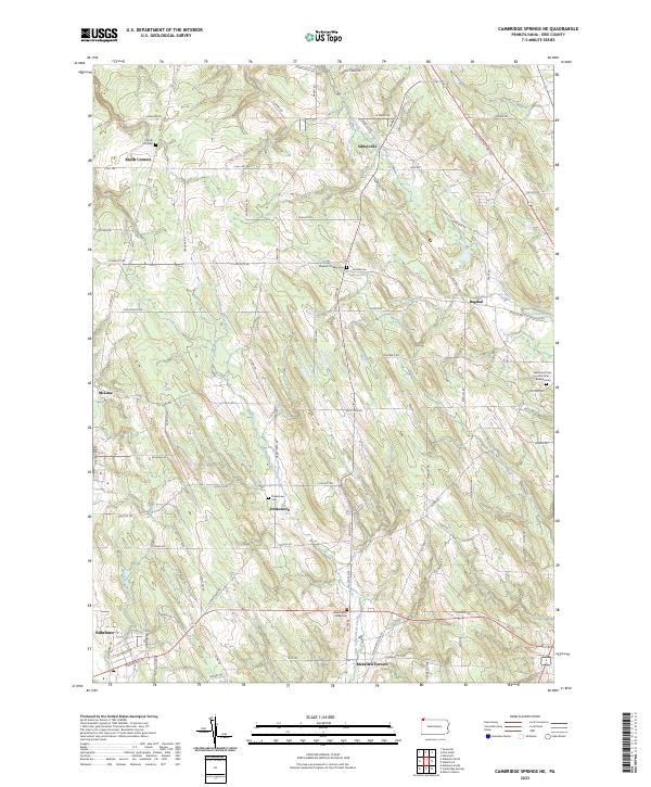
2023 Cambridge Springs NE
Erie County, PA
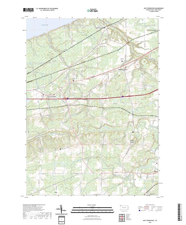
2023 East Springfield
Erie County, PA
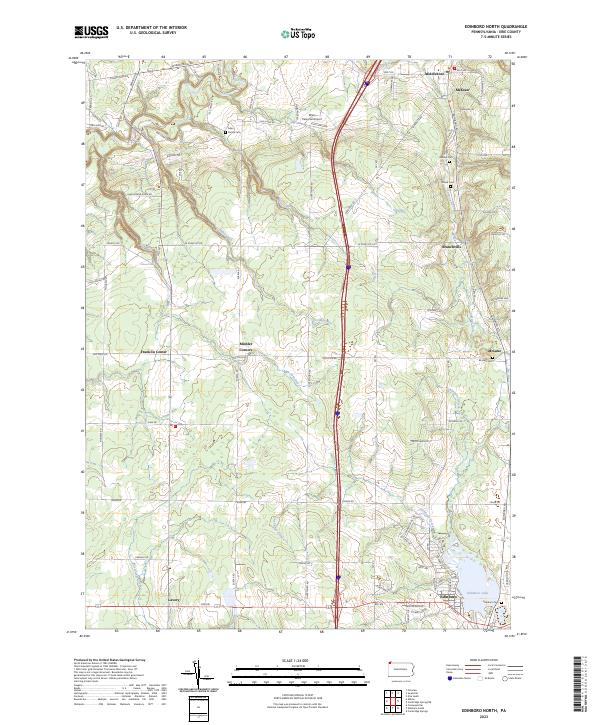
2023 Edinboro North
Erie County, PA
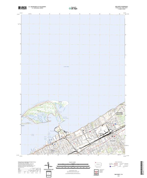
2023 Erie North
Erie County, PA
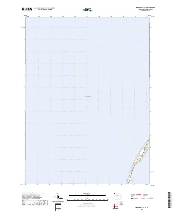
2023 Erie North OE W
Erie County, PA
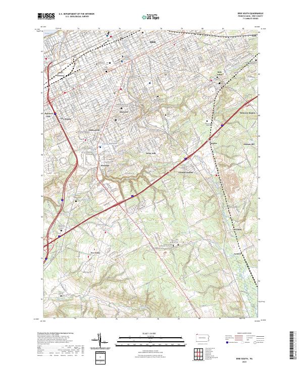
2023 Erie South
Erie County, PA
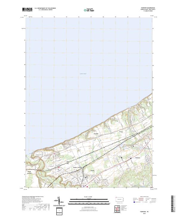
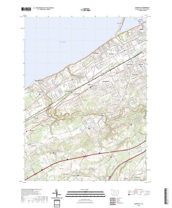
2023 Fairview
Erie County, PA
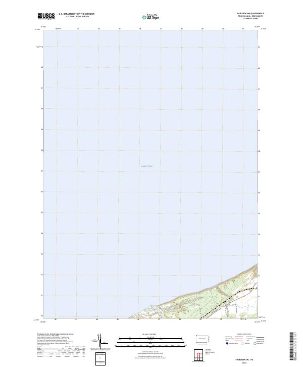
2023 Fairview SW
Erie County, PA
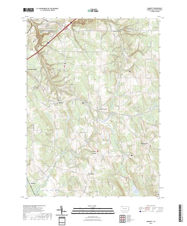
2023 Hammett
Erie County, PA
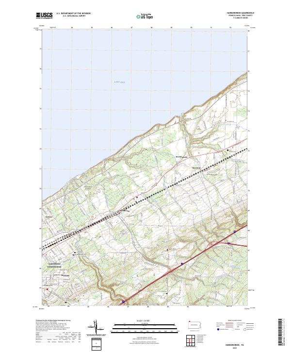
2023 Harborcreek
Erie County, PA
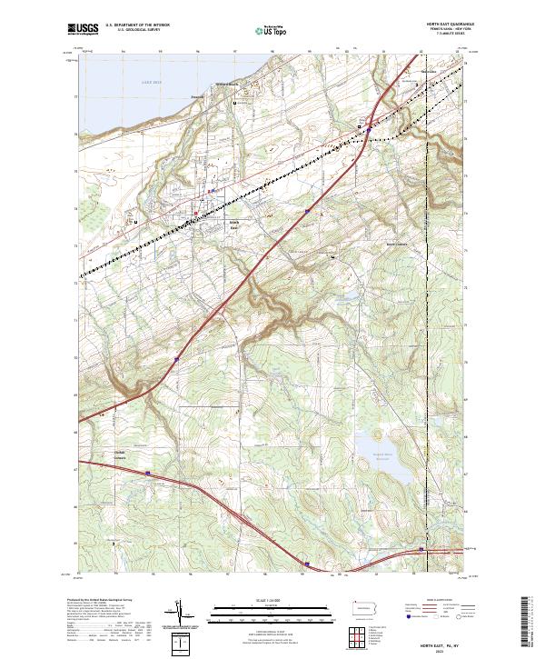
2023 North East
Erie County, PA
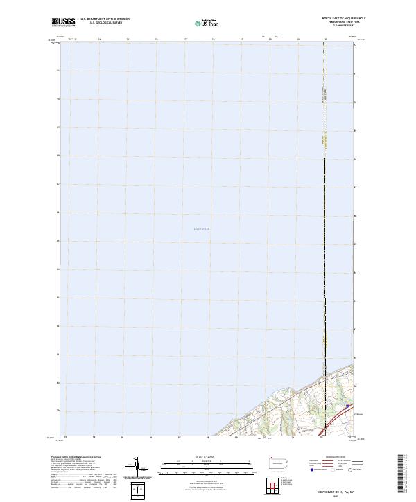
2023 North East OE N
Erie County, PA
2023 Swanville
Erie County, PA
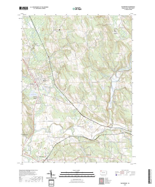
2023 Waterford
Erie County, PA