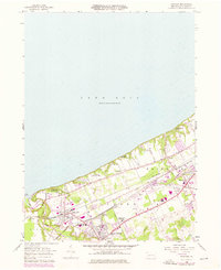
1957 Map of Fairview
USGS Topo · Published 1976About this map
Lake Erie defines the northern edge of this coastal landscape, where the waters of Elk Creek reach the shore at the Mouth. The mid-1950s survey captures a well-established rail corridor, with the Penn Central and Norfolk and Western lines converging at Wallace Junction and Girard Junction. These tracks facilitated the growth of industrial and residential hubs like Lake City and Girard, while the surrounding countryside remained dotted with specialized institutions such as the Divine Word Seminary and the Rice Avenue Union High School. Along the shoreline, recreational development is evident through Camp Sherwin, Camp Caledon, and the Lake Erie Community Park. Genealogists will find particular value in the documentation of several local burial grounds, including the Fairview Cemetery and the County Infirmary Cemetery, providing a precise look at the civic and religious infrastructure of Erie County during the mid-twentieth century.
Find a feature on this map
36 named features on this map. Tap any name to fly to it.
Don’t see what you’re looking for? This feature index may not catch every label — zoom into the map to look around manually.
Map Details
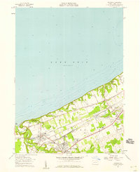
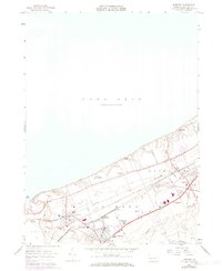
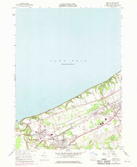
Editions of this 1957 Fairview Map
4 editions found
Other maps of this area

1899 · Erie
USGS Topo · 1:62,500

1900 · Girard
USGS Topo · 1:62,500

1900 · Erie
USGS Topo · 1:62,500

1900 · Fairview
USGS Topo · 1:62,500

1923 · Cambridge Springs
USGS Topo · 1:62,500

1925 · Cambridge Springs
USGS Topo · 1:62,500

1943 · Cambridge Springs
USGS Topo · 1:62,500

1950 · Cleveland
USGS Topo · 1:250,000

1950 · Erie
USGS Topo · 1:250,000

1956 · Cleveland
USGS Topo · 1:250,000