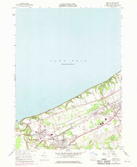
1957 Map of Fairview
USGS Topo · Published 1970About this map
Lake Erie defines the northern reaches of this Pennsylvania shoreline, where the waters meet the bluffs near The Mouth of Elk Creek. During the mid-century, this corridor served as a vital transportation artery, dominated by the parallel tracks of the Norfolk and Western and Penn Central railroads. These lines connect the industrial and residential hubs of Lake City, Girard, and Fairview, illustrating a landscape shaped by both rail commerce and lakeside recreation. Institutional landmarks like the Divine Word Seminary and the Rice Avenue Union High Sch suggest a well-established community infrastructure. A series of seasonal lakeside retreats, including Camp Caledon, Camp Sherwin, and Great Lakes Camp, line the Lake Road corridor, highlighting the area's dual identity as a working rail-and-river territory and a destination for summer residents along the Erie coast.
Find a feature on this map
33 named features on this map. Tap any name to fly to it.
Don’t see what you’re looking for? This feature index may not catch every label — zoom into the map to look around manually.
Map Details
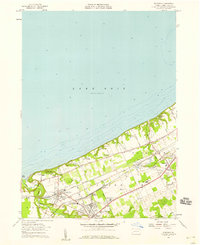
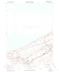
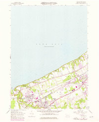
Editions of this 1957 Fairview Map
4 editions found
Other maps of this area

1899 · Erie
USGS Topo · 1:62,500

1900 · Girard
USGS Topo · 1:62,500

1900 · Erie
USGS Topo · 1:62,500

1900 · Fairview
USGS Topo · 1:62,500

1923 · Cambridge Springs
USGS Topo · 1:62,500

1925 · Cambridge Springs
USGS Topo · 1:62,500

1943 · Cambridge Springs
USGS Topo · 1:62,500

1950 · Cleveland
USGS Topo · 1:250,000

1950 · Erie
USGS Topo · 1:250,000

1956 · Cleveland
USGS Topo · 1:250,000