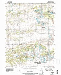
1995 Map of Fairview
USGS Topo · Published 1996About this map
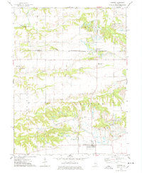
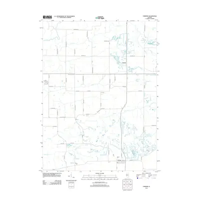
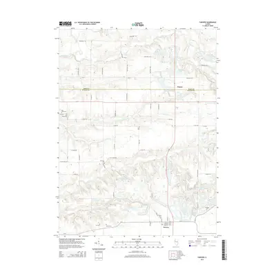
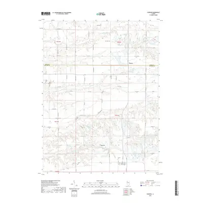
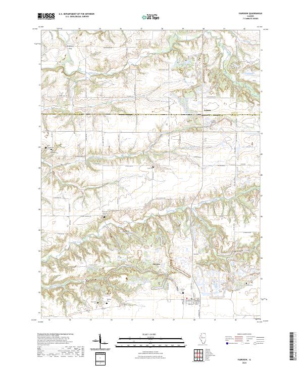
Fairview and Rapatee anchor this landscape along the border of Knox and Fulton counties, revealing a region defined by extensive industrial excavation and long-standing rural community life. The terrain is deeply marked by several large Strip Mined Area sections, particularly near Swegle Creek and the southern townships, where coal extraction has fundamentally altered the topography. These industrial zones contrast with the well-preserved genealogical record found in numerous small family and community burial grounds, such as Beer Cem, Markley Cem, and Lyons Cem. The drainage of the Spoon River and its tributaries, including Littlers Creek and Flea Creek, frames the northern reaches of the quadrangle. For those studying the social geography of the late 20th century, the presence of the Spoon River Valley Sch and Coal Creek Ch highlights the persistent hubs of local fellowship amid an evolving industrial landscape.
Find a feature on this map
27 named features on this map. Tap any name to fly to it.
Don’t see what you’re looking for? This feature index may not catch every label — zoom into the map to look around manually.
Map Details
Editions of this 1995 Fairview Map
This is the sole edition of this map. No revisions or reprints were ever made.
Historical Maps of Fairview Through Time
7 maps found