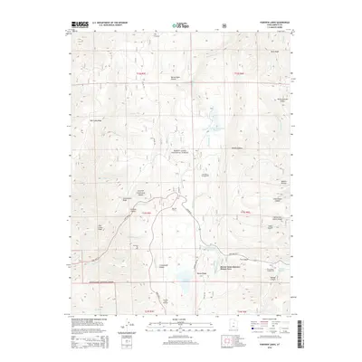
2014 Map of Fairview Lakes
USGS Topo · Published 2014About this map
The Manti-La Sal National Forest defines the high-altitude landscape of this Sanpete County region, where the Wasatch Plateau meets a complex network of canyons and ridges. Historically significant for its water management and recreation, the area features the Narrows Tunnel and several key alpine catchments including Lower Gooseberry Reservoir, Beaver Dam Reservoir, and Fairview Lakes. The seasonal settlement patterns are evident at the Beaver Dams Summer Homes Area, a cluster of residences near the intersection of State Hwy 31 and State Hwy 264.
Find a feature on this map
53 named features on this map. Tap any name to fly to it.
Don’t see what you’re looking for? This feature index may not catch every label — zoom into the map to look around manually.
Map Details
Editions of this 2014 Fairview Lakes Map
This is the sole edition of this map. No revisions or reprints were ever made.
Other maps of this area

1885 · Manti
USGS Topo · 1:250,000

1895 · Manti
USGS Topo · 1:250,000

1923 · Scofield
USGS Topo · 1:62,500

1925 · Scofield
USGS Topo · 1:62,500

1939 · Soldier Summit
USGS Topo · 1:62,500

1942 · Soldier Summit
USGS Topo · 1:62,500

1956 · Price
USGS Topo · 1:250,000

1960 · Price
USGS Topo · 1:250,000

1962 · Price
USGS Topo · 1:250,000

1965 · Huntington Reservoir
USGS Topo · 1:24,000