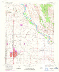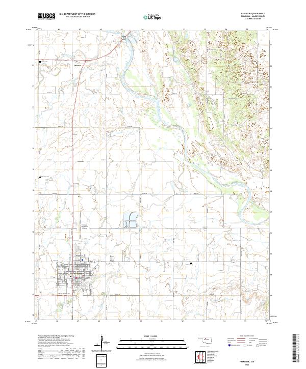
1986 Map of Fairview
USGS Topo · Published 1990About this map
Fairview serves as the focal point for this mid-1980s look at Major County, where the plains give way to distinct geological formations like Tepee Mountain and the shifting Sand Dunes. The landscape is defined by the southeasterly flow of the Cimarron River and the North Canadian River, the latter feeding into the expansive Canton Lake. This reservoir and its adjacent Canton State Wildlife Management Area represent a significant shift in land use from the surrounding agricultural grid, providing a massive footprint for conservation and recreation.
Find a feature on this map
77 named features on this map. Tap any name to fly to it.
Don’t see what you’re looking for? This feature index may not catch every label — zoom into the map to look around manually.
Map Details
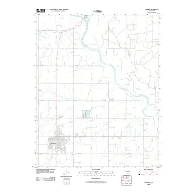
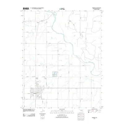
Editions of this 1986 Fairview Map
2 editions found
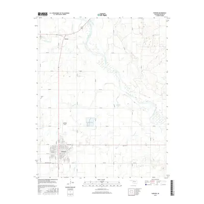
Historical Maps of Fairview Through Time
7 maps found