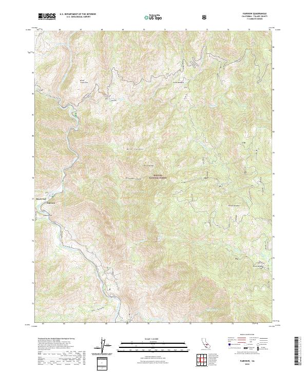
2022 Map of Fairview
USGS Topo · Published 2022About this map
The Kern Wild and Scenic River carves a deep valley through the southern Sierra Nevada range, defining the landscape of this portion of the Sequoia National Forest. The settlement of Fairview and the nearby Roads End serve as the primary human outposts where the canyon floor widens slightly at Calkins Flat. This 2022 survey illustrates the transition from the river corridor to high-elevation features like Corral Meadow and Horse Meadow to the east. Several significant water features are recorded, including South Creek Falls and Salmon Creek Falls, which drain the surrounding highlands. The route of Sherman Pass provides a critical transit point through the mountains, connecting the river valley to the broader mountain interior and passing through areas like Brush Creek Flat and the small settlement at Rincon.
Find a feature on this map
34 named features on this map. Tap any name to fly to it.
Don’t see what you’re looking for? This feature index may not catch every label — zoom into the map to look around manually.
Map Details
Editions of this 2022 Fairview Map
This is the sole edition of this map. No revisions or reprints were ever made.
Other maps of this area

1904 · Kaweah
USGS Topo · 1:125,000

1905 · Olancha
USGS Topo · 1:125,000

1905 · Fairview
USGS Topo · 1:24,000

1906 · Kernville
USGS Topo · 1:125,000

1907 · Olancha
USGS Topo · 1:125,000

1908 · Kernville
USGS Topo · 1:125,000

1909 · Kaweah
USGS Topo · 1:125,000

1918 · Fairview
USGS Topo · 1:31,680

1936 · Tobias Peak
USGS Topo · 1:125,000

1937 · Kaweah
USGS Topo · 1:125,000