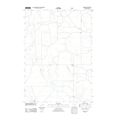
2012 Map of Fairview
USGS Topo · Published 2012About this map
The high plains of Weston County are defined by a network of seasonal drainages and scattered ranching operations centered around Fairview. The landscape is etched by the meandering paths of Hay Cr and its tributaries, including E Fork Hay Cr and W Fork Hay Cr, which suggest a terrain reliant on intermittent water sources. To the south, Lodgepole Cr and Field Draw cut through the territory, while Deep Cr flows northward toward S Beaver Cr. Settlement is characterized by historically significant ranching sites like Kuemmerle Ranch, Walker Ranch, and Adkins Ranch. Transportation through this open country is facilitated by established routes such as Mush Creek Rd and Upton Fairview Rd, providing essential links between isolated homesteads and larger regional hubs.
Find a feature on this map
16 named features on this map. Tap any name to fly to it.
Don’t see what you’re looking for? This feature index may not catch every label — zoom into the map to look around manually.
Map Details
Editions of this 2012 Fairview Map
This is the sole edition of this map. No revisions or reprints were ever made.
Other maps of this area

1955 · Newcastle
USGS Topo · 1:250,000

1958 · Newcastle
USGS Topo · 1:250,000

1979 · Newcastle
USGS Topo · 1:100,000

1982 · Clareton
USGS Topo · 1:24,000
1982 · Sheep Canyon Creek West
USGS Topo · 1:24,000
1982 · Wildlife Draw East
USGS Topo · 1:24,000
1982 · Darlington Draw East
USGS Topo · 1:24,000
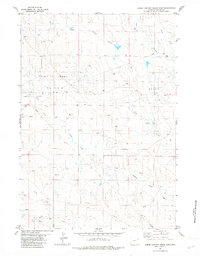
1982 · Sheep Canyon Creek East
USGS Topo · 1:24,000
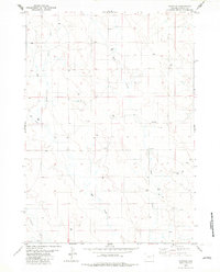
1982 · Fairview
USGS Topo · 1:24,000
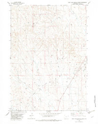
1982 · West Fork Buffalo Creek
USGS Topo · 1:24,000