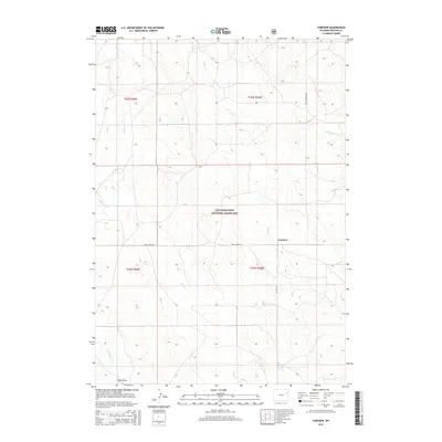
2015 Map of Fairview
USGS Topo · Published 2015About this map
Thunder Basin National Grassland dominates the landscape of this Weston County survey, preserving a vast expanse of shortgrass prairie as it appeared in the mid-2010s. The small settlement of Fairview sits at a rural crossroads where Mush Creek Rd meets Elliott Rd, serving as a focal point for the surrounding ranching and agricultural operations. The geography is defined by a dendritic network of seasonal drainages and creeks, including Deep Creek, Lodgepole Creek, and S Beaver Creek, which carve subtle relief into the high plains. Local transit relies on established routes such as Upton Fairview Rd, providing essential connectivity through the township and range divisions of t45n r65w and t44n r66w. Field Draw in the south further illustrates the subtle topographic variations that have shaped land use in this part of northeastern Wyoming.
Find a feature on this map
16 named features on this map. Tap any name to fly to it.
Don’t see what you’re looking for? This feature index may not catch every label — zoom into the map to look around manually.
Map Details
Editions of this 2015 Fairview Map
This is the sole edition of this map. No revisions or reprints were ever made.
Other maps of this area

1955 · Newcastle
USGS Topo · 1:250,000

1958 · Newcastle
USGS Topo · 1:250,000

1979 · Newcastle
USGS Topo · 1:100,000

1982 · Clareton
USGS Topo · 1:24,000
1982 · Sheep Canyon Creek West
USGS Topo · 1:24,000
1982 · Wildlife Draw East
USGS Topo · 1:24,000
1982 · Darlington Draw East
USGS Topo · 1:24,000
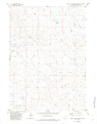
1982 · Sheep Canyon Creek East
USGS Topo · 1:24,000
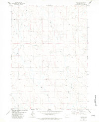
1982 · Fairview
USGS Topo · 1:24,000
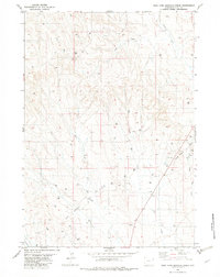
1982 · West Fork Buffalo Creek
USGS Topo · 1:24,000