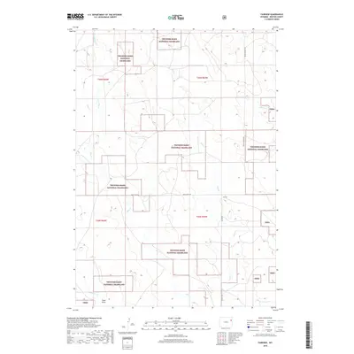
2018 Map of Fairview
USGS Topo · Published 2018About this map
Fairview anchors this portion of Weston County, situated within the expansive patchwork of the Thunder Basin National Grassland. The landscape is defined by a complex drainage system, where Deep Cr and Hay Cr wind through the high plains, eventually reaching toward Lodgepole Cr in the south. The map reveals a rural infrastructure of section lines and gravel routes such as Upton Fairview Rd and Mush Creek RD, illustrating the historical grid system used to manage these vast grazing lands. To the west, the terrain transitions through several forks of the Hay Creek system, including the W Fork Hay Cr and E Fork Hay Cr. This map captures the modern state of the northern Wyoming prairie, showing how cattle ranching and public land management continue to shape the local geography around the Field Draw area.
Find a feature on this map
17 named features on this map. Tap any name to fly to it.
Don’t see what you’re looking for? This feature index may not catch every label — zoom into the map to look around manually.
Map Details
Editions of this 2018 Fairview Map
This is the sole edition of this map. No revisions or reprints were ever made.
Other maps of this area

1955 · Newcastle
USGS Topo · 1:250,000

1958 · Newcastle
USGS Topo · 1:250,000

1979 · Newcastle
USGS Topo · 1:100,000

1982 · Clareton
USGS Topo · 1:24,000
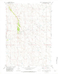
1982 · Sheep Canyon Creek West
USGS Topo · 1:24,000
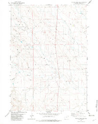
1982 · Wildlife Draw East
USGS Topo · 1:24,000
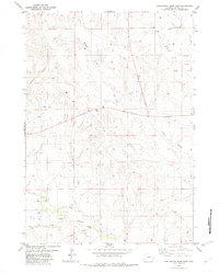
1982 · Darlington Draw East
USGS Topo · 1:24,000
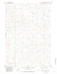
1982 · Sheep Canyon Creek East
USGS Topo · 1:24,000
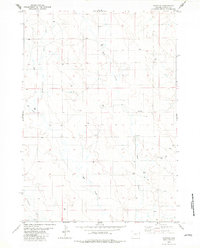
1982 · Fairview
USGS Topo · 1:24,000
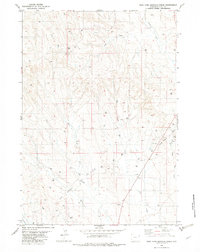
1982 · West Fork Buffalo Creek
USGS Topo · 1:24,000