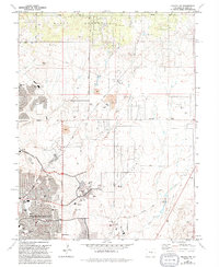
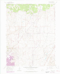
1961 Map of Falcon NW
USGS Topo · Published 1994About this map
The expanding northern reaches of Colorado Springs meet the southern edge of the Black Forest in this 1994 revision. The map documents a period of rapid suburban growth, marked by the establishing of multiple educational facilities such as Liberty High Sch, Explorer Sch, and Doherty High Sch. While residential neighborhoods are clearly defined by an array of parks like Fairfax Park and Anna Rudy Sch, the landscape still retains vestiges of its ranching and industrial past. Features like the Rodeo Ground and Pring Ranch Park sit alongside numerous active and former extraction sites, including a Borrow Pit and several gravel pits. In the southeast, an Old Railroad Grade follows the East Fork Sand Creek, tracing a legacy of earlier transportation through the corridor.
Find a feature on this map
41 named features on this map. Tap any name to fly to it.
Don’t see what you’re looking for? This feature index may not catch every label — zoom into the map to look around manually.
Map Details
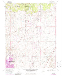
Editions of this 1961 Falcon NW Map
6 editions found
Other maps of this area

1893 · Colorado Springs
USGS Topo · 1:125,000

1894 · Castle Rock
USGS Topo · 1:125,000

1909 · Colorado Springs
USGS Topo · 1:125,000

1913 · Castle Rock
USGS Topo · 1:125,000

1940 · Elbert
USGS Topo · 1:62,500

1942 · Colorado Springs
USGS Topo · 1:125,000

1944 · Elbert
USGS Topo · 1:62,500

1948 · Falcon
USGS Topo · 1:24,000

1948 · Colorado Springs
USGS Topo · 1:62,500

1948 · Pikeview
USGS Topo · 1:24,000