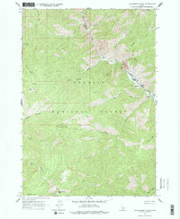
1963 Map of Falconberry Peak
USGS Topo · Published 1977About this map
Falconberry Peak and the surrounding wilderness of the Challis National Forest define this high-altitude landscape along the border of Lemhi and Custer counties. Remote administrative and residential outposts are scattered throughout the drainages, including the Falconberry Guard Station and the Indian Spring Guard Station. The presence of the Falconberry Landing Strip near the confluence of Loon Creek and Burn Creek underscores the isolation of the area, where air travel and a network of Jeep Trails provided the primary means of access during the mid-20th century.
Find a feature on this map
30 named features on this map. Tap any name to fly to it.
Don’t see what you’re looking for? This feature index may not catch every label — zoom into the map to look around manually.
Map Details
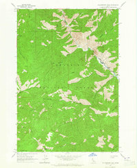
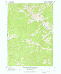
Editions of this 1963 Falconberry Peak Map
3 editions found
Other maps of this area

1930 · Casto
USGS Topo · 1:125,000

1957 · Challis
USGS Topo · 1:250,000

1960 · Challis
USGS Topo · 1:250,000

1962 · Norton Ridge
USGS Topo · 1:24,000

1962 · Ramey Hill
USGS Topo · 1:24,000

1963 · Challis
USGS Topo · 1:250,000

1963 · Pinyon Peak
USGS Topo · 1:24,000

1963 · Casto
USGS Topo · 1:24,000

1963 · Rock Creek
USGS Topo · 1:24,000
1963 · Sherman Peak
USGS Topo · 1:24,000