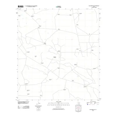
2010 Map of Falfurrias SE
USGS Topo · Published 2010About this map
Pita Pens and a network of named pastures define this South Texas landscape in the early twenty-first century. The area is characterized by an extensive infrastructure of windmills, such as San Juan Windmill, La Mula Windmill, and Old Barrosa Windmill, which support the region's ranching heritage. Large divisions of land like the Papalote del Norte and Patricio Pasture suggest a specialized livestock economy that has persisted over generations.
Find a feature on this map
31 named features on this map. Tap any name to fly to it.
Don’t see what you’re looking for? This feature index may not catch every label — zoom into the map to look around manually.
Map Details
Editions of this 2010 Falfurrias SE Map
This is the sole edition of this map. No revisions or reprints were ever made.
Other maps of this area

1921 · Falfurrias
USGS Topo · 1:125,000

1923 · Armstrong
USGS Topo · 1:62,500

1928 · Sarita
USGS Topo · 1:125,000

1949 · Mc Allen
USGS Topo · 1:250,000

1950 · Corpus Christi
USGS Topo · 1:250,000

1953 · Brownsville
USGS Topo · 1:250,000

1954 · McAllen
USGS Topo · 1:250,000

1954 · Sarita
USGS Topo · 1:62,500

1956 · Corpus Christi
USGS Topo · 1:250,000

1956 · Pita Camp
USGS Topo · 1:24,000