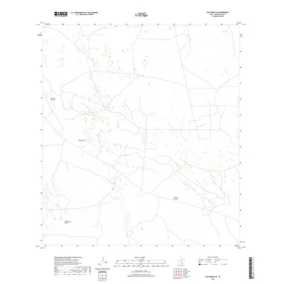
2019 Map of Falfurrias SE
USGS Topo · Published 2019About this map
Barroso Pasture and Barroso Trap define the northern expanse of this Brooks County landscape, reflecting the long-standing ranching traditions of South Texas. This 2019 survey captures a territory largely organized into expansive grazing lands, where property boundaries and pasture names like Patricio Pasture and Los Muertos Pasture serve as the primary geographical markers. The map reveals a sparse network of ranch roads and tracks that navigate between scattered wetlands and subtle topographic shifts, illustrating the infrastructure required to manage large-scale livestock operations in this arid region. The lack of concentrated municipal development highlights the continuity of the area's rural character, where land use remains dedicated to the open range and traditional Texas cattle country.
Find a feature on this map
4 named features on this map. Tap any name to fly to it.
Don’t see what you’re looking for? This feature index may not catch every label — zoom into the map to look around manually.
Map Details
Editions of this 2019 Falfurrias SE Map
This is the sole edition of this map. No revisions or reprints were ever made.
Other maps of this area

1921 · Falfurrias
USGS Topo · 1:125,000

1923 · Armstrong
USGS Topo · 1:62,500

1928 · Sarita
USGS Topo · 1:125,000

1949 · Mc Allen
USGS Topo · 1:250,000

1950 · Corpus Christi
USGS Topo · 1:250,000

1953 · Brownsville
USGS Topo · 1:250,000

1954 · McAllen
USGS Topo · 1:250,000

1954 · Sarita
USGS Topo · 1:62,500

1956 · Corpus Christi
USGS Topo · 1:250,000

1956 · Pita Camp
USGS Topo · 1:24,000