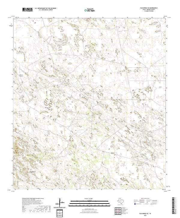
2022 Map of Falfurrias SE
USGS Topo · Published 2022About this map
Barroso Pasture and the surrounding ranchlands of Brooks County define this landscape in South Texas. This 2022 survey illustrates the expansive grazing territory and rural land divisions typical of the region, where large parcels like Patricio Pasture and Los Muertos Pasture are partitioned for cattle and land management. The presence of the Barroso Trap highlights the specialized infrastructure used for livestock handling in this open country. Local roads and secondary connectors thread through these pastures, reflecting the modern management of a historic ranching tradition that persists in the brushlands north of the Rio Grande Valley.
Find a feature on this map
4 named features on this map. Tap any name to fly to it.
Don’t see what you’re looking for? This feature index may not catch every label — zoom into the map to look around manually.
Map Details
Editions of this 2022 Falfurrias SE Map
This is the sole edition of this map. No revisions or reprints were ever made.
Other maps of this area

1921 · Falfurrias
USGS Topo · 1:125,000

1923 · Armstrong
USGS Topo · 1:62,500

1928 · Sarita
USGS Topo · 1:125,000

1949 · Mc Allen
USGS Topo · 1:250,000

1950 · Corpus Christi
USGS Topo · 1:250,000

1953 · Brownsville
USGS Topo · 1:250,000

1954 · McAllen
USGS Topo · 1:250,000

1954 · Sarita
USGS Topo · 1:62,500

1956 · Corpus Christi
USGS Topo · 1:250,000

1956 · Pita Camp
USGS Topo · 1:24,000