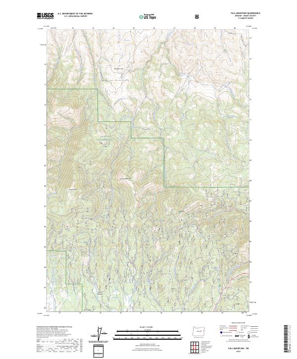
2023 Map of Fall Mountain
USGS Topo · Published 2023About this map
The Aldrich Mountains define the northern terrain of this Grant County landscape, providing a high-elevation backdrop for the headwaters of numerous drainages. Located within the Malheur National Forest, the area transitions from the prominent summits of Fall Mtn and Hanscombe Mtn down into the pastoral expanse of Bear Valley to the south. Historically significant landmarks such as Graveyard Gulch and Pleasant Hill hint at the early land use and settlement patterns of this timber and grazing region. A dense network of springs, including Starr Spring and Windfall Spring, feeds the local creeks, which was essential for the ranching operations that utilized the open spaces of Geary Meadow and Long Glade. The presence of Laycock Creek Rd and Nans Rock Rd illustrates the development of forest access for natural resource management and local commerce in the modern era.
Find a feature on this map
46 named features on this map. Tap any name to fly to it.
Don’t see what you’re looking for? This feature index may not catch every label — zoom into the map to look around manually.
Map Details
Editions of this 2023 Fall Mountain Map
This is the sole edition of this map. No revisions or reprints were ever made.
Other maps of this area

1940 · Mount Vernon
USGS Topo · 1:62,500

1940 · John Day
USGS Topo · 1:62,500

1943 · John Day
USGS Topo · 1:62,500

1943 · Mount Vernon
USGS Topo · 1:62,500

1955 · Canyon City
USGS Topo · 1:250,000

1959 · Canyon City
USGS Topo · 1:250,000

1961 · Logdell
USGS Topo · 1:62,500

1961 · Seneca
USGS Topo · 1:62,500

1972 · John Day
USGS Topo · 1:24,000

1972 · Canyon Mtn
USGS Topo · 1:24,000