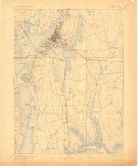
1893 Map of Fall River
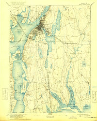
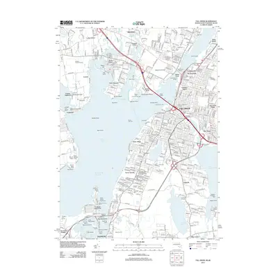
USGS Topo · Published 1925About this map
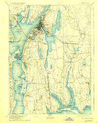
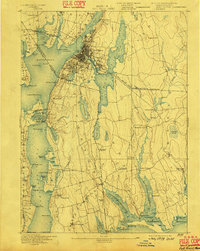
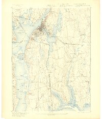
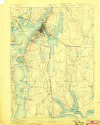
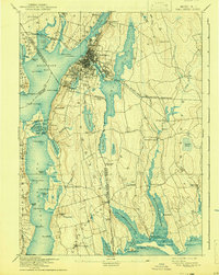
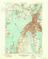
Fall River serves as the industrial and transport hub of this coastal region, where the Quequechan River connects the expansive North Watuppa Pond and South Watuppa Pond to the harbor. The city's dense street grid is flanked by mill-era neighborhoods like Mechanicsville and Globe Village. The map highlights a complex network of 19th-century infrastructure, including the Old Colony Railroad and the Fall River Warren and Providence Railroad spanning the Taunton River. South of the city, the landscape shifts toward the rural villages of Tiverton and Little Compton, where long-standing farmstead names and small water-powered sites such as Westport Mills and Head of Westport define the local economy. Coastal landmarks like the Stone Bridge and the Light House at Brayton Point anchor the maritime activity of Mount Hope Bay.
Find a feature on this map
107 named features on this map. Tap any name to fly to it.
Don’t see what you’re looking for? This feature index may not catch every label — zoom into the map to look around manually.
Map Details
Editions of this 1893 Fall River Map
9 editions found


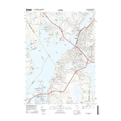
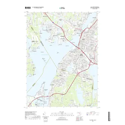
Historical Maps of Fall River Through Time
13 maps found

1888 Fall River
Bristol County, MA
1893 Fall River
Bristol County, MA

1919 Fall River
Bristol County, MA
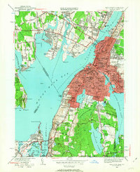
1944 Fall River
Bristol County, MA
1949 Fall River
Bristol County, MA
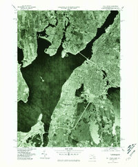
1967 Fall River
Bristol County, MA
1977 Fall River
Bristol County, MA
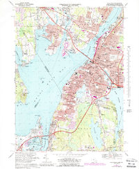
1985 Fall River
Bristol County, MA
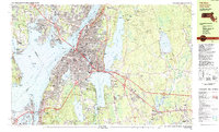
2012 Fall River
Bristol County, MA
2015 Fall River
Bristol County, MA
2018 Fall River
Bristol County, MA

2021 Fall River
Bristol County, MA
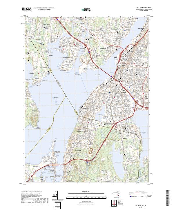
2024 Fall River
Bristol County, MA