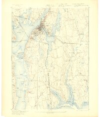
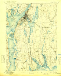
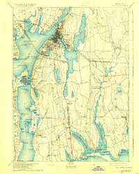
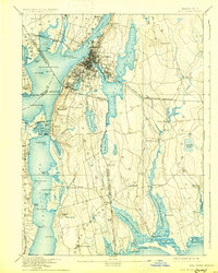
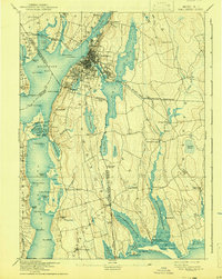
1893 Map of Fall River
USGS Topo · Published 1903About this map
Fall River serves as the industrial and maritime hub of this coastal survey, where the Quequechan River connects the massive Watuppa Pond to the Taunton River. The late-19th-century landscape is defined by its sophisticated transportation network, featuring the Old Colony Railroad and the Fall River and New Bedford Railroad stitching together textile centers and outlying villages. Beyond the dense street grids of Mechanicsville and Globe Village, the geography shifts into the tidal estuaries and farmland of Rhode Island and Massachusetts. Rare transit markers like Quicksand Station and the Stone Bridge at Tiverton highlight the era's reliance on both rail and localized water crossings. From the maritime activity at Bordens Wharf to the quiet reaches of Stafford Pond and Little Compton, the map documents a region balancing rapid urbanization with its deep-seated colonial agricultural roots.
Find a feature on this map
108 named features on this map. Tap any name to fly to it.
Don’t see what you’re looking for? This feature index may not catch every label — zoom into the map to look around manually.
Map Details
Editions of this 1893 Fall River Map
9 editions found

Other maps of this area

1885 · New Bedford
USGS Topo · 1:62,500

1885 · Sakonnet
USGS Topo · 1:62,500

1885 · Middleboro
USGS Topo · 1:62,500

1885 · Taunton
USGS Topo · 1:62,500

1887 · Providence
USGS Topo · 1:62,500

1888 · New Bedford
USGS Topo · 1:62,500

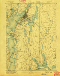
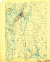
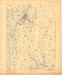
1888 · Fall River
USGS Topo · 1:62,500

1888 · Taunton
USGS Topo · 1:62,500

1888 · Middleboro
USGS Topo · 1:62,500

1888 · Sakonnet
USGS Topo · 1:62,500