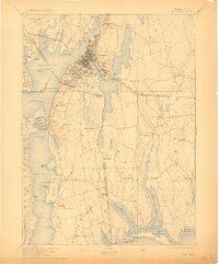
1893 Map of Fall River
USGS Topo · Published 1911About this map
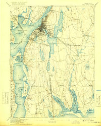
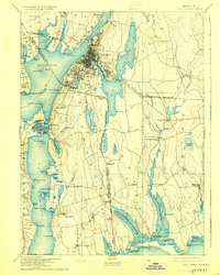
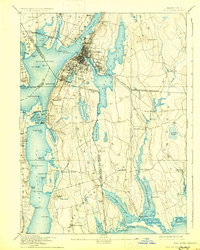
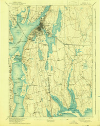
Fall River serves as the industrial heart of this late 19th-century coastal survey, where the Quequechan River meets the Taunton River. The map meticulously details the dense urban grid and docklands of the era, including Bordens Wharf and a Light House at Brayton Point. The surrounding landscape is a complex network of waterways and early rail lines, such as the Old Colony Railroad and the Fall River and New Bedford Railroad, which facilitated the region's textile and maritime commerce.
Find a feature on this map
116 named features on this map. Tap any name to fly to it.
Don’t see what you’re looking for? This feature index may not catch every label — zoom into the map to look around manually.
Map Details
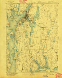
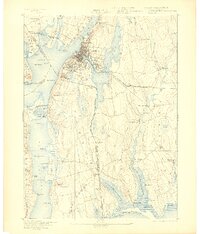
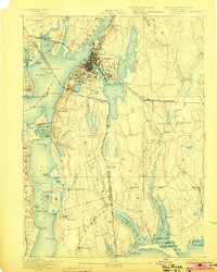
Editions of this 1893 Fall River Map
9 editions found

Other maps of this area

1885 · New Bedford
USGS Topo · 1:62,500

1885 · Sakonnet
USGS Topo · 1:62,500

1885 · Middleboro
USGS Topo · 1:62,500

1885 · Taunton
USGS Topo · 1:62,500

1887 · Providence
USGS Topo · 1:62,500

1888 · New Bedford
USGS Topo · 1:62,500

1888 · Fall River
USGS Topo · 1:62,500

1888 · Taunton
USGS Topo · 1:62,500

1888 · Middleboro
USGS Topo · 1:62,500

1888 · Sakonnet
USGS Topo · 1:62,500