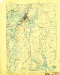
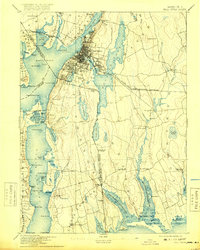
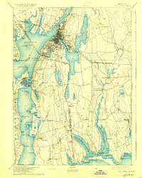
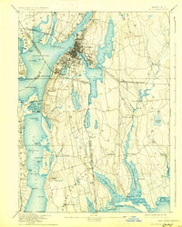
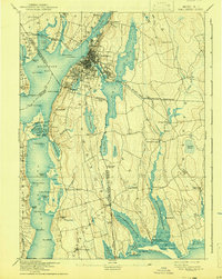
1893 Map of Fall River
USGS Topo · Published 1903About this map
Fall River serves as the industrial and maritime anchor of this late 19th-century coastal survey, where the Quequechan River meets the Taunton River. The map captures a densely developed urban core surrounded by peripheral settlements like Mechanicsville and Globe Village, all tightly integrated by the Old Colony Railroad and Fall River and New Bedford Railroad networks. This era highlights a landscape defined by water power and maritime transit, with numerous ponds such as Stafford Pond and Cook Pond providing vital resources for the region's expanding textile and manufacturing interests.
Find a feature on this map
112 named features on this map. Tap any name to fly to it.
Don’t see what you’re looking for? This feature index may not catch every label — zoom into the map to look around manually.
Map Details
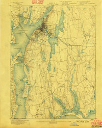
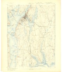
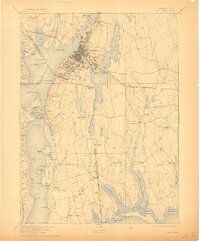
Editions of this 1893 Fall River Map
9 editions found

Other maps of this area

1885 · New Bedford
USGS Topo · 1:62,500

1885 · Sakonnet
USGS Topo · 1:62,500

1885 · Middleboro
USGS Topo · 1:62,500

1885 · Taunton
USGS Topo · 1:62,500

1887 · Providence
USGS Topo · 1:62,500

1888 · New Bedford
USGS Topo · 1:62,500

1888 · Fall River
USGS Topo · 1:62,500

1888 · Taunton
USGS Topo · 1:62,500

1888 · Middleboro
USGS Topo · 1:62,500

1888 · Sakonnet
USGS Topo · 1:62,500