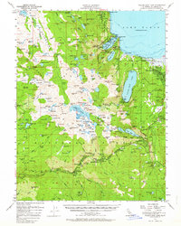
1955 Map of Fallen Leaf Lake
USGS Topo · Published 1964About this map
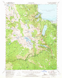
El Dorado County backcountry near the southwestern shores of Lake Tahoe is meticulously charted in this mid-century survey, revealing a landscape defined by seasonal camps and steep granite ascents. The eastern half of the map shows established settlements like Tallac Village and Camp Richardson alongside the recreational infrastructure of Emerald Bay State Park and D L Bliss State Park. These areas of human activity contrast sharply with the remote interior of the Crystal Range, where high-elevation landmarks like Pyramid Peak and Dicks Peak tower over the Desolation Valley wilderness. The map documents a transition in local life, recording legacy sites like Celio Ranch and Lyons alongside a growing network of Boy Scout and municipal camps. Important transit markers including U.S. 50, the Vade PO, and Angora Lookout provide specific reference points for researchers tracing the historical development of the Tahoe basin.
Find a feature on this map
210 named features on this map. Tap any name to fly to it.
Don’t see what you’re looking for? This feature index may not catch every label — zoom into the map to look around manually.
Map Details
Editions of this 1955 Fallen Leaf Lake Map
7 editions found
Other maps of this area

1889 · Pyramid Peak
USGS Topo · 1:125,000

1889 · Markleeville
USGS Topo · 1:125,000

1891 · Carson
USGS Topo · 1:125,000

1891 · Markleeville
USGS Topo · 1:125,000

1891 · Truckee
USGS Topo · 1:125,000

1891 · Pyramid Peak
USGS Topo · 1:125,000

1893 · Carson
USGS Topo · 1:125,000

1893 · Markleeville
USGS Topo · 1:125,000

1893 · Truckee
USGS Topo · 1:125,000

1895 · Pyramid Peak
USGS Topo · 1:125,000