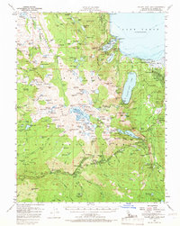
1955 Map of Fallen Leaf Lake
USGS Topo · Published 1968About this map
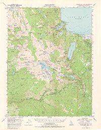
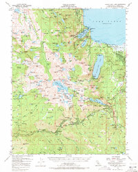
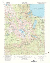
Lake Tahoe dominates the northeastern corner of this mid-century survey, its shoreline defined by Rubicon Point and Eagle Point. The landscape is a complex network of alpine water bodies and high-elevation peaks, including the expansive Desolation Valley Wild Area and the Eldorado National Forest. Localities such as Tahoe Valley, Fallen Leaf, and Meyers serve as early focal points for settlement and recreation, while remote sites like the Univ Calif Cow Camp and Pyramid Guard Sta indicate the specialized land use of the era.
Find a feature on this map
213 named features on this map. Tap any name to fly to it.
Don’t see what you’re looking for? This feature index may not catch every label — zoom into the map to look around manually.
Map Details
Editions of this 1955 Fallen Leaf Lake Map
7 editions found
Other maps of this area

1889 · Pyramid Peak
USGS Topo · 1:125,000

1889 · Markleeville
USGS Topo · 1:125,000

1891 · Carson
USGS Topo · 1:125,000

1891 · Markleeville
USGS Topo · 1:125,000

1891 · Truckee
USGS Topo · 1:125,000

1891 · Pyramid Peak
USGS Topo · 1:125,000

1893 · Carson
USGS Topo · 1:125,000

1893 · Markleeville
USGS Topo · 1:125,000

1893 · Truckee
USGS Topo · 1:125,000

1895 · Pyramid Peak
USGS Topo · 1:125,000