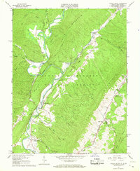
1966 Map of Falling Spring
USGS Topo · Published 1967About this map
The Jackson River cuts a deep path through the George Washington National Forest in this mid-1960s survey, dictating the settlement patterns of this Virginia-West Virginia borderland. The Chesapeake and Ohio railroad corridor follows the river's winding course, connecting small communities like Perkins Point and Greenwood where the valley floor widens. Local religious life is anchored by landmarks such as Emory Ch and Sinking Spring Ch, while the landscape is dotted with remnants of the early rural economy, including a Mill on Mill Creek and a Quarry near the southern boundary. To the east, the terrain rises sharply toward Warm Springs Mountain, where Cascades Creek and Hot Springs Run descend into the more developed valleys of Carloover and Tinkertown. This map captures a transition period where traditional mountain river crossings like Jenkins Ford exist alongside modern infrastructure like the Gaging Sta.
Find a feature on this map
58 named features on this map. Tap any name to fly to it.
Don’t see what you’re looking for? This feature index may not catch every label — zoom into the map to look around manually.
Map Details
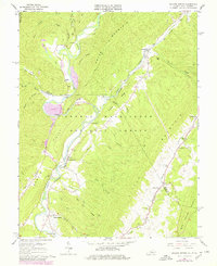
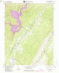
Editions of this 1966 Falling Spring Map
3 editions found
Other maps of this area

1887 · Lewisburg
USGS Topo · 1:125,000

1891 · Lewisburg
USGS Topo · 1:125,000

1891 · Huntersville
USGS Topo · 1:125,000

1894 · Huntersville
USGS Topo · 1:125,000

1894 · Natural Bridge
USGS Topo · 1:125,000

1901 · Monterey
USGS Topo · 1:125,000

1921 · Callaghan
USGS Topo · 1:48,000

1923 · Marlinton
USGS Topo · 1:48,000

1923 · Warm Springs
USGS Topo · 1:48,000

1923 · Callaghan
USGS Topo · 1:62,500