
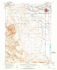
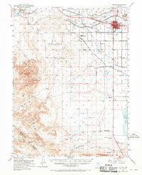
1951 Map of Fallon
USGS Topo · Published 1953About this map
Fallon serves as the central hub of this 1950s interior desert landscape, where the engineering of the Carson River and its complex network of canals, including the Upper Diagonal Canal, transformed the arid Lahontan Valley. The map documents an extensive rural infrastructure of scattered country schools such as Oats Park Sch and Lone Tree Sch, reflecting a period of established agricultural settlement. This human activity is bounded by the dramatic rise of the Dead Camel Mountains and Red Mountain, where shafts and prospects mark the edges of the high ground. Historical transit is etched across the valley floor, with the Pony Express Route and a Pony Express Monument situated near the Smith Ranch, while the Southern Pacific railroad parallels the river's path through the northern reach.
Find a feature on this map
45 named features on this map. Tap any name to fly to it.
Don’t see what you’re looking for? This feature index may not catch every label — zoom into the map to look around manually.
Map Details
Editions of this 1951 Fallon Map
3 editions found
Other maps of this area

1890 · Wadsworth
USGS Topo · 1:125,000

1891 · Wabuska
USGS Topo · 1:125,000

1892 · Wadsworth
USGS Topo · 1:125,000

1894 · Wadsworth
USGS Topo · 1:125,000

1894 · Wabuska
USGS Topo · 1:125,000

1908 · Carson Sink
USGS Topo · 1:250,000

1910 · Carson Sink
USGS Topo · 1:250,000

1950 · Stillwater
USGS Topo · 1:62,500

1951 · Carson Lake
USGS Topo · 1:62,500

1951 · Allen Springs
USGS Topo · 1:62,500