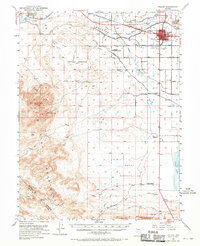
1951 Map of Fallon
USGS Topo · Published 1970About this map
Fallon serves as the central hub for the irrigated lands of the Lahon Tan Valley in this mid-century survey. The landscape is defined by the tension between desert and water, where the Carson River is redirected through the Carson Diversion Dam and Coleman Diversion Dam to support agricultural settlements like Swingle Bench. Traces of Western migration and communication are visible through the California Trail and the Pony Express Route, which cuts across the southern portion of the map near a designated Pony Express Monument. Educational history is well-marked by rural institutions such as St Clair Sch and Union Sch, while the presence of the Naval Reservation signals the era's growing military footprint. In the foothills of the Red Mountain and Dead Mountains, various Prospects and Shafts indicate small-scale mining activity away from the valley's canal-fed plains.
Find a feature on this map
34 named features on this map. Tap any name to fly to it.
Don’t see what you’re looking for? This feature index may not catch every label — zoom into the map to look around manually.
Map Details
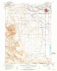
Editions of this 1951 Fallon Map
3 editions found

Other maps of this area

1890 · Wadsworth
USGS Topo · 1:125,000

1891 · Wabuska
USGS Topo · 1:125,000

1892 · Wadsworth
USGS Topo · 1:125,000

1894 · Wadsworth
USGS Topo · 1:125,000

1894 · Wabuska
USGS Topo · 1:125,000

1908 · Carson Sink
USGS Topo · 1:250,000

1910 · Carson Sink
USGS Topo · 1:250,000

1950 · Stillwater
USGS Topo · 1:62,500

1951 · Carson Lake
USGS Topo · 1:62,500

1951 · Allen Springs
USGS Topo · 1:62,500