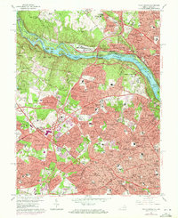
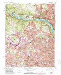
1965 Map of Falls Church
USGS Topo · Published 1971About this map
The Potomac River carves a dramatic path through this mid-1960s landscape, flanked by the U S Naval Reservation (David Taylor Model Basin) and the Central Intelligence Agency headquarters. This survey captures a moment of intense suburban expansion in Northern Virginia, where residential enclaves like Pimmit Hills and Broyhill-McLean Estates rapidly fill the spaces between established hubs. Transportation corridors define the region's growth, from the winding Georgetown Pike to the emerging Capital Beltway and the tracks of the Washington & Old Dominion RR.
Find a feature on this map
225 named features on this map. Tap any name to fly to it.
Don’t see what you’re looking for? This feature index may not catch every label — zoom into the map to look around manually.
Map Details
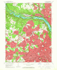
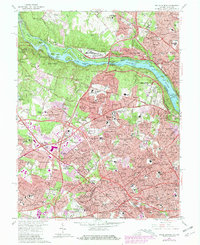
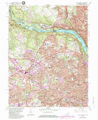
Editions of this 1965 Falls Church Map
5 editions found
Other maps of this area

1890 · Mt. Vernon
USGS Topo · 1:125,000

1891 · Mt. Vernon
USGS Topo · 1:125,000

1893 · Frederick
USGS Topo · 1:125,000

1894 · Frederick
USGS Topo · 1:125,000

1894 · Mt. Vernon
USGS Topo · 1:125,000

1897 · Mt. Vernon
USGS Topo · 1:125,000

1900 · Washington
USGS Topo · 1:62,500

1908 · Rockville
USGS Topo · 1:62,500

1908 · Seneca
USGS Topo · 1:62,500

1915 · Fairfax
USGS Topo · 1:62,500