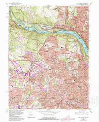
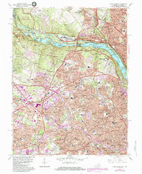
1965 Map of Falls Church
USGS Topo · Published 1988About this map
The Potomac River carves a dramatic boundary through this mid-century landscape, separating the wooded Maryland hills of Montgomery County from the rapidly suburbanizing terrain of Fairfax County. Along the river's northern bank, the historic Chesapeake and Ohio Canal is meticulously detailed with its series of engineering works, including Lock 19 through Lock 7. This river corridor also hosts the massive U.S. Naval Reservation and the Central Intelligence Agency headquarters, contrasting with the nearby Great Falls National Park. To the south, the expansion of the D.C. suburbs is evident in the dense residential networks of McLean and Falls Church. Local heritage is preserved in landmarks like Swinks Mill and an Abandoned Gold Mine, while the W & O D Trail marks the path of former rail transit through the growing communities of Pimmit Hills and Idylwood.
Find a feature on this map
238 named features on this map. Tap any name to fly to it.
Don’t see what you’re looking for? This feature index may not catch every label — zoom into the map to look around manually.
Map Details
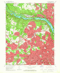
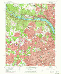
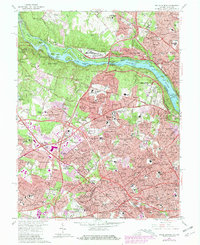
Editions of this 1965 Falls Church Map
5 editions found
Other maps of this area

1890 · Mt. Vernon
USGS Topo · 1:125,000

1891 · Mt. Vernon
USGS Topo · 1:125,000

1893 · Frederick
USGS Topo · 1:125,000

1894 · Frederick
USGS Topo · 1:125,000

1894 · Mt. Vernon
USGS Topo · 1:125,000

1897 · Mt. Vernon
USGS Topo · 1:125,000

1900 · Washington
USGS Topo · 1:62,500

1908 · Rockville
USGS Topo · 1:62,500

1908 · Seneca
USGS Topo · 1:62,500

1915 · Fairfax
USGS Topo · 1:62,500