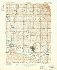
1915 Map of Falls City
USGS Topo · Published 1949About this map
Falls City serves as the regional hub in this 1915 survey of Richardson County, where the Nemaha River meanders through the southern landscape. The settlement pattern is defined by a dense network of rural schoolhouses, including Pioneer School, Arago Center School, and Catalpa Grove School, each placed to serve the surrounding agricultural townships like Ohio and Liberty. The era's transportation backbone is clearly visible through the convergence of the Chicago Burlington and Quincy Pacific RR and multiple Missouri Pacific lines, which link smaller communities such as Shubert, Verdon, and Salem. Land use is primarily agricultural, though localized industry appears at the Stone Quarry and the County Farm. Landmarks like Piersons Point and the winding course of Muddy Creek provide distinct geographic anchors for this early twentieth-century Nebraska study.
Find a feature on this map
54 named features on this map. Tap any name to fly to it.
Don’t see what you’re looking for? This feature index may not catch every label — zoom into the map to look around manually.
Map Details
Editions of this 1915 Falls City Map
3 editions found

Other maps of this area

1885 · Atchison
USGS Topo · 1:125,000

1888 · Atchison
USGS Topo · 1:125,000

1888 · Hiawatha
USGS Topo · 1:125,000

1893 · Atchison
USGS Topo · 1:125,000

1894 · Hiawatha
USGS Topo · 1:125,000

1915 · Falls City
USGS Topo · 1:62,500

1915 · Nemaha
USGS Topo · 1:62,500

1915 · Howe
USGS Topo · 1:62,500

1916 · Humboldt
USGS Topo · 1:62,500

1920 · Craig
USGS Topo · 1:62,500