
1915 Map of Falls City
USGS Topo · Published 1915About this map
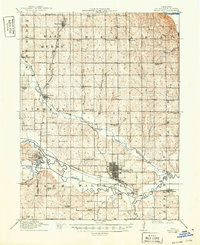
Falls City serves as the primary rail hub on this 1915 survey of Richardson County, where the Chicago Burlington and Quincy RR and the Missouri Pacific lines converge. The landscape is defined by the broad valley of the Nemaha River and its numerous tributaries, including Muddy Creek, which snakes through the northern townships of Barada and Liberty. This era of Nebraska agriculture is documented through a dense network of country schools located roughly every two miles, such as Pioneer School, Walnut Grove School, and Friendly School. Along the riverbanks, smaller landings and crossings like Piersons Point and the village of Preston highlight the importance of water access. Further south, industry is represented by the Stone Quarry near Pony Creek, while local social services are anchored by the County Farm northwest of the county seat.
Find a feature on this map
58 named features on this map. Tap any name to fly to it.
Don’t see what you’re looking for? This feature index may not catch every label — zoom into the map to look around manually.
Map Details
Editions of this 1915 Falls City Map
3 editions found

Other maps of this area

1885 · Atchison
USGS Topo · 1:125,000

1888 · Atchison
USGS Topo · 1:125,000

1888 · Hiawatha
USGS Topo · 1:125,000

1893 · Atchison
USGS Topo · 1:125,000

1894 · Hiawatha
USGS Topo · 1:125,000

1915 · Nemaha
USGS Topo · 1:62,500

1915 · Howe
USGS Topo · 1:62,500

1916 · Humboldt
USGS Topo · 1:62,500

1920 · Craig
USGS Topo · 1:62,500

1936 · Fairfax
USGS Topo · 1:24,000