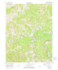
1971 Map of Fallsburg
USGS Topo · Published 1978About this map
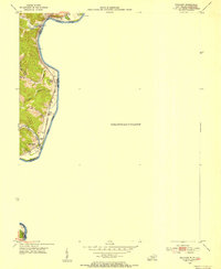
Fallsburg and the surrounding Lawrence County uplands are defined by the winding course of Blaine Creek, which carves deep loops through the terrain, most notably at Grubb Bend. This 1970s revision of earlier data shows a landscape transitioning between traditional river-valley settlement and modern industrial activity, with numerous Oil Well sites and a Strip Mine appearing alongside older landmarks like the Covered Bridge near Yatesville.
Find a feature on this map
101 named features on this map. Tap any name to fly to it.
Don’t see what you’re looking for? This feature index may not catch every label — zoom into the map to look around manually.
Map Details
Editions of this 1971 Fallsburg Map
4 editions found
Other maps of this area

1901 · Ceredo
USGS Topo · 1:62,500

1903 · Kenova
USGS Topo · 1:125,000

1904 · Kenova
USGS Topo · 1:125,000

1911 · Louisa
USGS Topo · 1:48,000

1913 · Ceredo
USGS Topo · 1:62,500

1913 · Louisa
USGS Topo · 1:62,500

1939 · Louisa
USGS Topo · 1:62,500
1953 · Prichard
USGS Topo · 1:24,000

1953 · Rush
USGS Topo · 1:24,000

1953 · Boltsfork
USGS Topo · 1:24,000