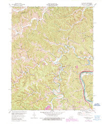
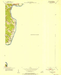
1971 Map of Fallsburg
USGS Topo · Published 1989About this map
The Big Sandy River forms a natural boundary on this sheet, carving through the terrain where Lawrence County, Kentucky and Wayne County, West Virginia meet. Small hamlets like Fallsburg and Yatesville serve as focal points for a landscape defined by narrow hollows and winding creek branches. The area shows a history of extraction and industry, with several mines, including the Green Valley Mine, and a notable strip mine near Stringtown.
Find a feature on this map
104 named features on this map. Tap any name to fly to it.
Don’t see what you’re looking for? This feature index may not catch every label — zoom into the map to look around manually.
Map Details
Editions of this 1971 Fallsburg Map
4 editions found
Other maps of this area

1901 · Ceredo
USGS Topo · 1:62,500

1903 · Kenova
USGS Topo · 1:125,000

1904 · Kenova
USGS Topo · 1:125,000

1911 · Louisa
USGS Topo · 1:48,000

1913 · Ceredo
USGS Topo · 1:62,500

1913 · Louisa
USGS Topo · 1:62,500

1939 · Louisa
USGS Topo · 1:62,500
1953 · Prichard
USGS Topo · 1:24,000

1953 · Rush
USGS Topo · 1:24,000

1953 · Boltsfork
USGS Topo · 1:24,000