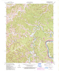
1971 Map of Fallsburg
USGS Topo · Published 1993About this map
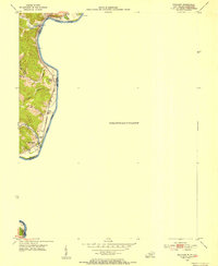
Blaine Creek winds through the heart of this Lawrence County landscape, defining the topography near settlements like Fallsburg and Stringtown. In the early 1970s, the area's rural character is underscored by numerous small family and community cemeteries, including the Patton Memorial Cem, and local landmarks like the Covered Bridge near Yatesville. The eastern boundary is marked by the Big Sandy River, which serves as both a natural border between Kentucky and West Virginia and a corridor for the Big Sandy River railroad line.
Find a feature on this map
97 named features on this map. Tap any name to fly to it.
Don’t see what you’re looking for? This feature index may not catch every label — zoom into the map to look around manually.
Map Details
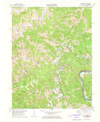
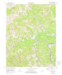
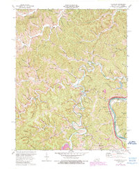
Editions of this 1971 Fallsburg Map
4 editions found
Other maps of this area

1901 · Ceredo
USGS Topo · 1:62,500

1903 · Kenova
USGS Topo · 1:125,000

1904 · Kenova
USGS Topo · 1:125,000

1911 · Louisa
USGS Topo · 1:48,000

1913 · Ceredo
USGS Topo · 1:62,500

1913 · Louisa
USGS Topo · 1:62,500

1939 · Louisa
USGS Topo · 1:62,500
1953 · Prichard
USGS Topo · 1:24,000

1953 · Rush
USGS Topo · 1:24,000

1953 · Boltsfork
USGS Topo · 1:24,000