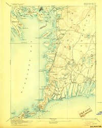
1893 Map of Falmouth
USGS Topo · Published 1905About this map
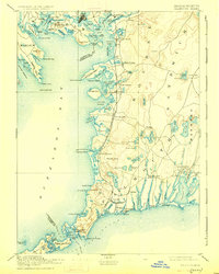
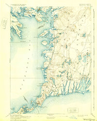
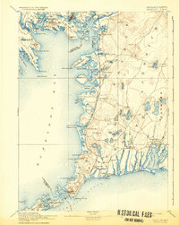
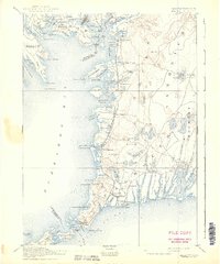
The maritime landscape of Cape Cod's western edge is defined here by the Woods Hole Branch of Old Colony Railroad, which snakes southward to the vital harbor at Woods Hole. This 1886 survey, updated for a 1905 reprint, captures the Upper Cape before the modern canal era, showing the Monumet River and Cohasset Narrows as they once appeared. Coastal settlements like Monument Beach, Cataumet, and Falmouth Heights represent the early established summer colonies and shipping hubs that shaped the regional economy. Inland, the terrain is pocketed with numerous freshwater bodies such as Coonamessett Pond and Mares Pond, reflecting the glacial history of Falmouth and Sandwich. From the Wing's Neck Light to the Nobska Point Light, the map documents a shoreline reliant on maritime navigation and the burgeoning rail infrastructure that connected these seaside villages to the mainland.
Find a feature on this map
129 named features on this map. Tap any name to fly to it.
Don’t see what you’re looking for? This feature index may not catch every label — zoom into the map to look around manually.
Map Details
Editions of this 1893 Falmouth Map
9 editions found

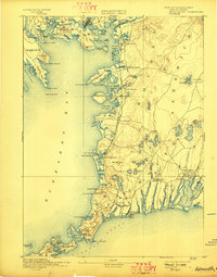
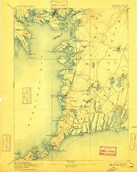
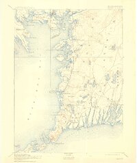
Other maps of this area

1885 · New Bedford
USGS Topo · 1:62,500

1885 · Middleboro
USGS Topo · 1:62,500

1886 · Falmouth
USGS Topo · 1:62,500

1886 · Plymouth
USGS Topo · 1:62,500

1887 · Gay Head
USGS Topo · 1:62,500

1887 · Marthas Vineyard
USGS Topo · 1:62,500

1888 · Barnstable
USGS Topo · 1:62,500

1888 · New Bedford
USGS Topo · 1:62,500

1888 · Falmouth
USGS Topo · 1:62,500

1888 · Middleboro
USGS Topo · 1:62,500