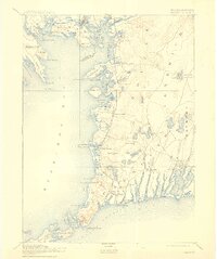
1893 Map of Falmouth
USGS Topo · Published 1915About this map
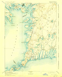
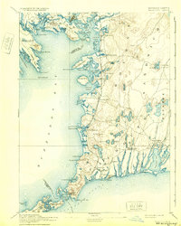
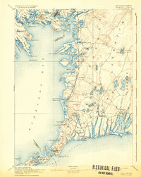
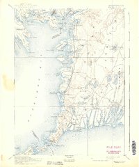
The Woods Hole Branch of Old Colony Railroad defines the western shore of Cape Cod in the late 19th century, connecting maritime villages from Monument Beach down to the busy harbor at Woods Hole. This coastal corridor is marked by a sequence of established summer colonies and shipping points, including West Falmouth, Falmouth Station, and the waterfront resort of Falmouth Heights. The intricate shoreline is a maze of necks and harbors, such as Phinney's Harbor and Cataumet Harbor, where land and sea interlock.
Find a feature on this map
131 named features on this map. Tap any name to fly to it.
Don’t see what you’re looking for? This feature index may not catch every label — zoom into the map to look around manually.
Map Details
Editions of this 1893 Falmouth Map
9 editions found

Other maps of this area

1885 · New Bedford
USGS Topo · 1:62,500

1885 · Middleboro
USGS Topo · 1:62,500

1886 · Falmouth
USGS Topo · 1:62,500

1886 · Plymouth
USGS Topo · 1:62,500

1887 · Gay Head
USGS Topo · 1:62,500

1887 · Marthas Vineyard
USGS Topo · 1:62,500

1888 · Barnstable
USGS Topo · 1:62,500

1888 · New Bedford
USGS Topo · 1:62,500

1888 · Falmouth
USGS Topo · 1:62,500

1888 · Middleboro
USGS Topo · 1:62,500