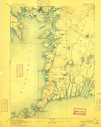
1893 Map of Falmouth
USGS Topo · Published 1909About this map
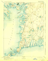
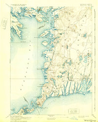
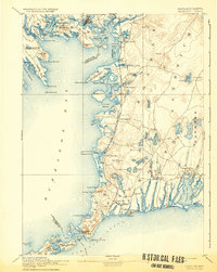
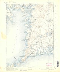
The coastal village of Woods Hole serves as a critical maritime gateway at the southwestern tip of the peninsula, appearing here in the late 19th century alongside the Woods Hole Branch of Old Colony Railroad. This rail line, featuring a dedicated Falmouth Station, established a vital land-to-sea link that shaped the development of Buzzards Bay communities. The landscape is characterized by deeply indented harbors such as Pocasset Harbor and West Falmouth Harbor, and numerous coastal necks like Sippican Neck and Wenaumet Neck. Inland, the terrain is dotted with glacial kettle ponds, including Jenkins Pond and Mares Pond, reflecting the distinct topography of Barnstable County. Safety for the era's mariners is highlighted by the placement of Bird Island Light and Nobska Point Light, which guided vessel traffic through the treacherous waters of Buzzards Bay and the Sound.
Find a feature on this map
121 named features on this map. Tap any name to fly to it.
Don’t see what you’re looking for? This feature index may not catch every label — zoom into the map to look around manually.
Map Details
Editions of this 1893 Falmouth Map
9 editions found

Other maps of this area

1885 · New Bedford
USGS Topo · 1:62,500

1885 · Middleboro
USGS Topo · 1:62,500

1886 · Falmouth
USGS Topo · 1:62,500

1886 · Plymouth
USGS Topo · 1:62,500

1887 · Gay Head
USGS Topo · 1:62,500

1887 · Marthas Vineyard
USGS Topo · 1:62,500

1888 · Barnstable
USGS Topo · 1:62,500

1888 · New Bedford
USGS Topo · 1:62,500

1888 · Falmouth
USGS Topo · 1:62,500

1888 · Middleboro
USGS Topo · 1:62,500