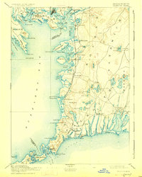
1893 Map of Falmouth
USGS Topo · Published 1926About this map
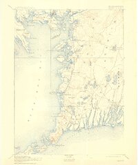
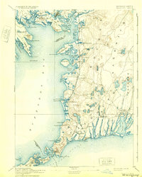
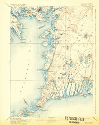
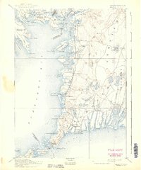
The Woods Hole Branch of Old Colony Railroad defines the late nineteenth-century character of this coastal landscape, connecting the mainland to the busy maritime hub of Woods Hole. Along the shoreline of Buzzards Bay, a string of villages including Monument Beach, Pocasset, and Cataumet reflect the era's growing coastal economy. The map provides a detailed view of the intricate harbor systems, from West Falmouth Harbor down to Quamquisset Harbor, where maritime safety was ensured by vital beacons like the Nobska Point Light and Wing's Neck Light. Inland, the terrain is dotted with numerous kettle ponds such as Deep Pond and Ashumet Pond, contrasting with the salt-water estuaries of Waquoit Village and Menauhant. This 1886 survey preserves the footprint of Falmouth and its surrounding hamlets before modern development transformed the Cape Cod peninsula.
Find a feature on this map
130 named features on this map. Tap any name to fly to it.
Don’t see what you’re looking for? This feature index may not catch every label — zoom into the map to look around manually.
Map Details
Editions of this 1893 Falmouth Map
9 editions found

Other maps of this area

1885 · New Bedford
USGS Topo · 1:62,500

1885 · Middleboro
USGS Topo · 1:62,500

1886 · Falmouth
USGS Topo · 1:62,500

1886 · Plymouth
USGS Topo · 1:62,500

1887 · Gay Head
USGS Topo · 1:62,500

1887 · Marthas Vineyard
USGS Topo · 1:62,500

1888 · Barnstable
USGS Topo · 1:62,500

1888 · New Bedford
USGS Topo · 1:62,500

1888 · Falmouth
USGS Topo · 1:62,500

1888 · Middleboro
USGS Topo · 1:62,500