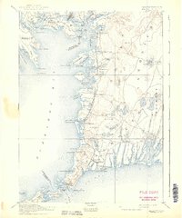
1893 Map of Falmouth
USGS Topo · Published 1939About this map
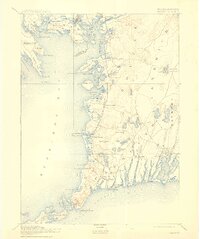
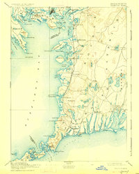
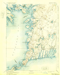
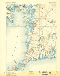
Buzzards Bay and its complex network of inlets and islands dominate this late 19th-century coastal landscape. The maritime character of the region is anchored by navigational landmarks such as Wing's Neck Light, Bird Island Light, and Nobska Point Light. Inland, the settlement pattern is shaped by the Woods Hole Branch of Old Colony Railroad, which links coastal villages from North Pocasset down to Woods Hole. The map reveals a transition toward seasonal residency and coastal recreation, evidenced by established summer colonies like Falmouth Heights and Menauhant. Local geography is defined by a high density of glacial kettle ponds such as Coonamessett Pond and Deep Pond, alongside the intricate shoreline of Pocasset Harbor and Megansett Harbor. Prominent family-named landmarks like Tempe's Knob and Swift's Hill provide specific touchpoints for genealogical and local history research.
Find a feature on this map
127 named features on this map. Tap any name to fly to it.
Don’t see what you’re looking for? This feature index may not catch every label — zoom into the map to look around manually.
Map Details
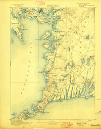
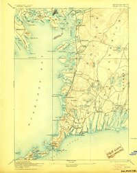
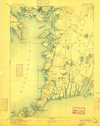
Editions of this 1893 Falmouth Map
9 editions found

Other maps of this area

1885 · New Bedford
USGS Topo · 1:62,500

1885 · Middleboro
USGS Topo · 1:62,500

1886 · Falmouth
USGS Topo · 1:62,500

1886 · Plymouth
USGS Topo · 1:62,500

1887 · Gay Head
USGS Topo · 1:62,500

1887 · Marthas Vineyard
USGS Topo · 1:62,500

1888 · Barnstable
USGS Topo · 1:62,500

1888 · New Bedford
USGS Topo · 1:62,500

1888 · Falmouth
USGS Topo · 1:62,500

1888 · Middleboro
USGS Topo · 1:62,500