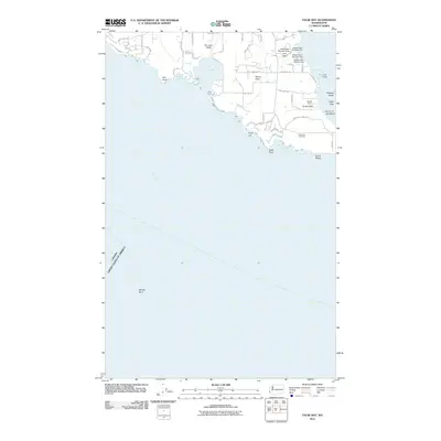
2011 Map of False Bay
USGS Topo · Published 2011About this map
The San Juan Valley and its southern coastline define this map, illustrating the rural and maritime character of the region. The landscape is marked by several small-scale water management projects, including Lawson Dam Number One, Pratt Dam, and a series of three Halsey Dams, which suggest the agricultural needs of the valley. Settlement patterns are concentrated around Mount Little and the southern reaches near the American Campsite, with a dense network of local roads such as Bailer Hill Rd and False Bay Dr providing access to the rugged shore.
Find a feature on this map
55 named features on this map. Tap any name to fly to it.
Don’t see what you’re looking for? This feature index may not catch every label — zoom into the map to look around manually.
Map Details
Editions of this 2011 False Bay Map
This is the sole edition of this map. No revisions or reprints were ever made.
Other maps of this area

1943 · Richardson
USGS Topo · 1:62,500

1943 · Orcas Island
USGS Topo · 1:62,500

1954 · Roche Harbor
USGS Topo · 1:24,000

1954 · Friday Harbor
USGS Topo · 1:24,000

1954 · False Bay
USGS Topo · 1:24,000

1957 · Richardson
USGS Topo · 1:62,500

1957 · Orcas Island
USGS Topo · 1:62,500

1957 · Victoria
USGS Topo · 1:250,000

1973 · Shaw Island
USGS Topo · 1:24,000

1975 · Bellingham
USGS Topo · 1:100,000