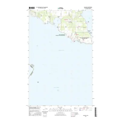
2017 Map of False Bay
USGS Topo · Published 2017About this map
San Juan Island meets the Puget Sound in this detailed survey, documenting the southern coastline from the rocky prominence of Pile Point to the historical grounds of the San Juan Island National Historical Park. The interior is defined by the agricultural expanse of the San Juan Valley and the modest peak of Mt Little, while the coast is indented by numerous coves and tidal features. Notably, the map captures the transition from public land to protected areas, including segments of the San Juan Islands National Wildlife Refuge at Lee Island and Utah Rock. Aviation history is present at the Burden Field-(Rabbit Run) Airport, situated just north of the Old Town Lagoon. The maritime boundary with Canada is clearly marked in the Haro Strait, emphasizing the island's position along the international border.
Find a feature on this map
58 named features on this map. Tap any name to fly to it.
Don’t see what you’re looking for? This feature index may not catch every label — zoom into the map to look around manually.
Map Details
Editions of this 2017 False Bay Map
This is the sole edition of this map. No revisions or reprints were ever made.
Other maps of this area

1943 · Richardson
USGS Topo · 1:62,500

1943 · Orcas Island
USGS Topo · 1:62,500

1954 · Roche Harbor
USGS Topo · 1:24,000

1954 · Friday Harbor
USGS Topo · 1:24,000

1954 · False Bay
USGS Topo · 1:24,000

1957 · Richardson
USGS Topo · 1:62,500

1957 · Orcas Island
USGS Topo · 1:62,500

1957 · Victoria
USGS Topo · 1:250,000

1973 · Shaw Island
USGS Topo · 1:24,000

1975 · Bellingham
USGS Topo · 1:100,000