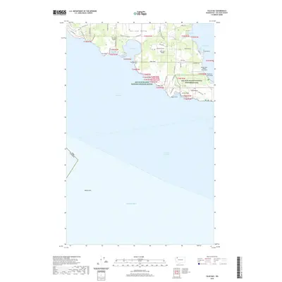
2020 Map of False Bay
USGS Topo · Published 2020About this map
San Juan Island and its southwestern coastline are documented here during a period of modern preservation and rural residential development. The landscape is defined by the significant presence of the San Juan Island National Historical Park on the southeastern shore near South Beach and the protected habitats of the San Juan Islands National Wildlife Refuge. The island's maritime character is prominent, with the Salish Sea and the Strait of Juan de Fuca meeting at the international boundary between the Usa and Canada. Inland, the San Juan Valley provides a pastoral contrast to the rocky points and numerous coves, such as Kanaka Bay and Eagle Cove. Small-scale aviation infrastructure is represented by Burden Field (Rabbit Run) Airport, while names like Old Town Lagoon hint at the island's earlier settlement history.
Find a feature on this map
56 named features on this map. Tap any name to fly to it.
Don’t see what you’re looking for? This feature index may not catch every label — zoom into the map to look around manually.
Map Details
Editions of this 2020 False Bay Map
This is the sole edition of this map. No revisions or reprints were ever made.
Other maps of this area

1943 · Richardson
USGS Topo · 1:62,500

1943 · Orcas Island
USGS Topo · 1:62,500

1954 · Roche Harbor
USGS Topo · 1:24,000

1954 · Friday Harbor
USGS Topo · 1:24,000

1954 · False Bay
USGS Topo · 1:24,000

1957 · Richardson
USGS Topo · 1:62,500

1957 · Orcas Island
USGS Topo · 1:62,500

1957 · Victoria
USGS Topo · 1:250,000

1973 · Shaw Island
USGS Topo · 1:24,000

1975 · Bellingham
USGS Topo · 1:100,000