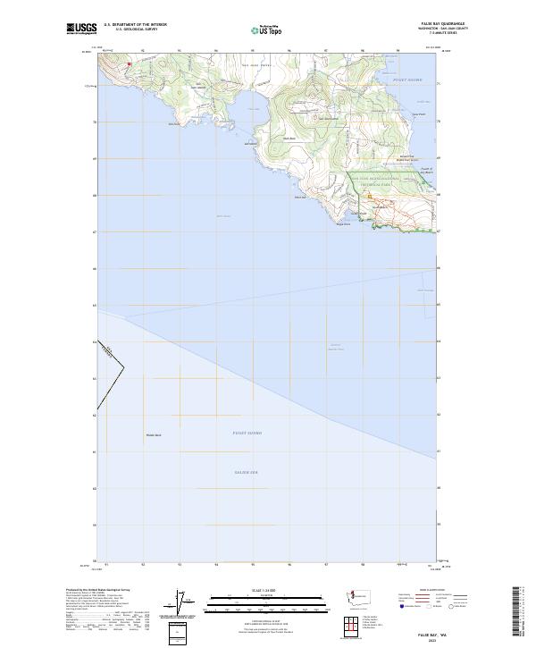
2023 Map of False Bay
USGS Topo · Published 2023About this map
San Juan Islands National Monument and the San Juan Islands Wilderness define the southern coastline of San Juan Island, where the Salish Sea meets the Strait of Juan de Fuca. The landscape transition from the agricultural expanses of the San Juan Valley to the protected shorelines of False Bay reflects a modern era of conservation and maritime heritage. Significant coastal markers like Pile Point, Point Joe, and Eagle Point overlook the complex currents of the Haro Strait.
Find a feature on this map
57 named features on this map. Tap any name to fly to it.
Don’t see what you’re looking for? This feature index may not catch every label — zoom into the map to look around manually.
Map Details
Editions of this 2023 False Bay Map
This is the sole edition of this map. No revisions or reprints were ever made.
Other maps of this area

1943 · Richardson
USGS Topo · 1:62,500

1943 · Orcas Island
USGS Topo · 1:62,500

1954 · Roche Harbor
USGS Topo · 1:24,000

1954 · Friday Harbor
USGS Topo · 1:24,000

1954 · False Bay
USGS Topo · 1:24,000

1957 · Richardson
USGS Topo · 1:62,500

1957 · Orcas Island
USGS Topo · 1:62,500

1957 · Victoria
USGS Topo · 1:250,000

1973 · Shaw Island
USGS Topo · 1:24,000

1975 · Bellingham
USGS Topo · 1:100,000