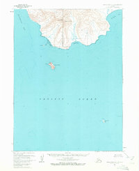
1963 Map of False Pass D-3
USGS Topo · Published 1972About this map
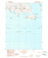
The coastal terrain of the Alaska Peninsula stands in stark relief along the northern reaches of the Pacific Ocean. This 1963 survey focuses on the maritime environment near Morzhovoi Bay, where the high elevations of North Walrus Peak and South Walrus Peak dominate the landscape. The map provides precise bathymetric data and shoreline details for Sandy Cove and Thinpoint Cove, reflecting the mid-century mapping efforts by the U.S. Geological Survey and USC&GS to chart these hazardous waters. In the open sea, isolated landmarks like Amagat Island and Umga Island serve as critical points for navigation, with a Light recorded on the latter. This map is particularly valuable for its depiction of the unsurveyed land lines as predetermined by the Bureau of Land Management, offering a view of how this coastal wilderness was formally organized before modern development.
Find a feature on this map
11 named features on this map. Tap any name to fly to it.
Don’t see what you’re looking for? This feature index may not catch every label — zoom into the map to look around manually.
Map Details
Editions of this 1963 False Pass D-3 Map
2 editions found
Other maps of this area

1943 · Fort Randall
USGS Topo · 1:250,000
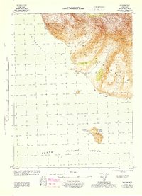
1944 · Cold Bay Sheet No. 20 of 25
USGS Topo · 1:25,000

1949 · False Pass
USGS Topo · 1:250,000

1949 · Fort Randall
USGS Topo · 1:250,000

1950 · False Pass
USGS Topo · 1:250,000

1950 · Fort Randall
USGS Topo · 1:250,000
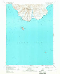
1963 · False Pass D-3
USGS Topo · 1:63,360
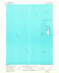
1963 · False Pass C-2
USGS Topo · 1:63,360

1963 · False Pass D-2
USGS Topo · 1:63,360
1989 · False Pass C-4
USGS Topo · 1:63,360