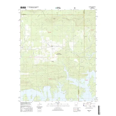
2017 Map of Fannie
USGS Topo · Published 2017About this map
Fannie and Liberty sit at the heart of this landscape, where the wooded uplands of the Ouachita National Forest meet the northern inlets of Lake Ouachita. The terrain is defined by ridges like Sandlick Mtn and the winding paths of Irons Fork and Muddy Creek. Local history is anchored by family-named burial grounds including Lee Cem and Breashears Cem, providing vital reference points for genealogists. The map details a transition from the forest's rugged interior to the recreational shoreline, highlighted by the Quachita National Recreation Trail as it traverses the Montgomery and Yell county lines. Rural roads such as Whippoorwill Rd and Union Hill Rd connect these small settlements, reflecting the enduring rural character of this Arkansas backcountry.
Find a feature on this map
35 named features on this map. Tap any name to fly to it.
Don’t see what you’re looking for? This feature index may not catch every label — zoom into the map to look around manually.
Map Details
Editions of this 2017 Fannie Map
This is the sole edition of this map. No revisions or reprints were ever made.
Other maps of this area

1890 · Mount Ida
USGS Topo · 1:125,000

1890 · Hot Springs
USGS Topo · 1:125,000

1894 · Hot Springs
USGS Topo · 1:125,000

1955 · Little Rock
USGS Topo · 1:250,000

1956 · Little Rock
USGS Topo · 1:250,000

1959 · Mount Ida
USGS Topo · 1:62,500

1960 · Little Rock
USGS Topo · 1:250,000

1960 · Gravelly
USGS Topo · 1:62,500

1962 · Crystal Springs
USGS Topo · 1:24,000

1962 · Avant
USGS Topo · 1:24,000